|
August 14, 2012 We had been talking about this trip for as few years. We last passed through Maine in about 1999 on our way to Nova Scotia. Carol still talks about the blueberry pie we had in Bar Harbor (pronounced BaHaba). We both woke up about 5:00 a.m. and apparently neither one of us wanted to admit that we were excited . . . so we tossed and turned until 6:00 before we started moving. I made a quick coffee and breakfast run to Tim Horton’s and we managed to get the dogs loaded and secured before 7:00. Carol went through the standard pre-flight cross-check (RV loaded - check. Dogs harnessed - check. Plants watered - check. Coffee in hand - check. Passports - check. Door locked – check) and were pulling away by 7:10, beginning our 307 mile trek to Danville, Vermont. I had hoped to wait until we reached the USA to gas up but it soon became evident that I would not quite make it. I stopped along the expressway and spent $75.00 for 15.11 gallons of regular unleaded. For our American friends, that’s a whopping $4.96 per gallon. Just before we hit the border crossing we stopped to pick up our last Timmie’s coffee for a few weeks! |
|
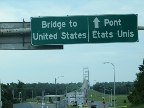
By 9:30 we had travelled 110 miles and were at Cornwall Ontario crossing the bridge into the USA near Massena New York. There was a very short line at the border, within 5 minutes we were talking to the Border Patrol officer. She asked a few questions and then asked us to step outside the RV while she took a look inside. All she did was step inside, admire the dogs and then wave us through! She must be a sheltie fan! As soon as we entered New York State we left the expressway behind for a while. The next 94 miles took three hours! There was a 30 minute stop to gas up ($3.72 per gallon) but still, it was slow, slow, slow! As soon as we pulled out of the gas station I noticed flashing lights ahead – it was an oversized load - a giant generator; the kind that go on the top of those big wind turbines. It was as big as a house and the convoy included a police escort, a lead car and a chase car. Since there are no flat roads and no straight roads in northern New York no one could pass. We crept and crawled, stopped and started, muttered and cursed! We followed them for at least 75 miles! |
 |
|
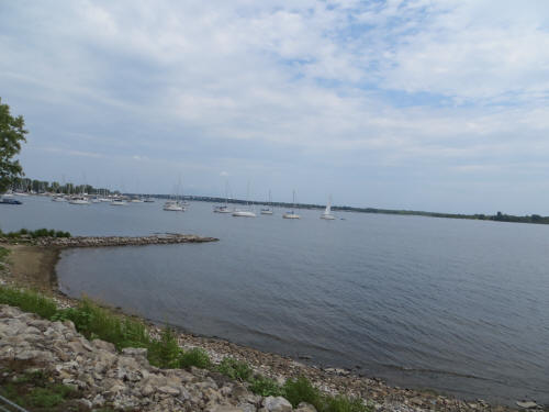 |
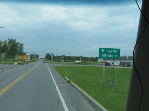
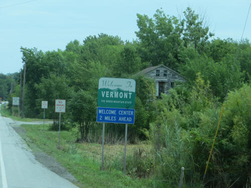
Finally they all turned left and we carried on straight! We both breathed a huge sigh of relief! Before we had finished the sigh we entered the construction zone! Dead ahead there was a flagman holding a stop sign! Well, it was a great 30 yards while it lasted! We were in and out of construction the rest of the day! Ouch! Our morning route took us just south of the Canadian border and just north of Adirondack Park as we headed east. We were never more then 10 miles south of the Canadian border. Just after we left the convoy behind Lake Champlain came into view. We crossed the northern tip of the lake and entered Vermont at noon. It’s a very pretty area! |
 |
 |
|
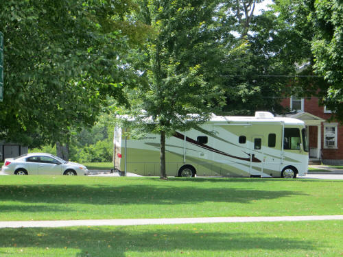
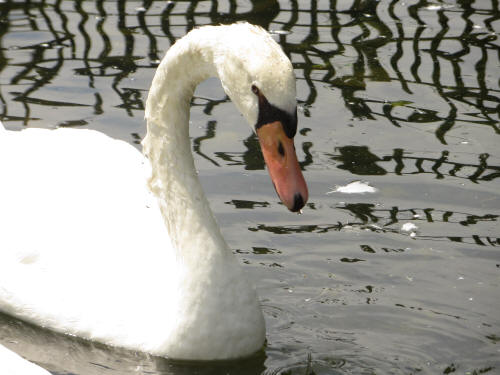
Before long we were approaching another freeway, Interstate 89 . . . hooray! Just before we got to I-89 we stopped at Swanton VT for a bite to eat. We parked beside the town square and walked the dogs. Naturally the Swanton mascots are a pair of swans so Carol took a few pictures of them then we headed to the little pizzeria just down the block. We picked up a small pizza and took it back to the RV to eat. It was quite good! |
 |
|
 |
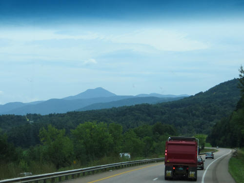
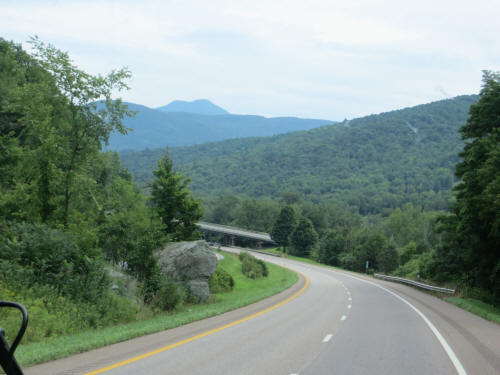
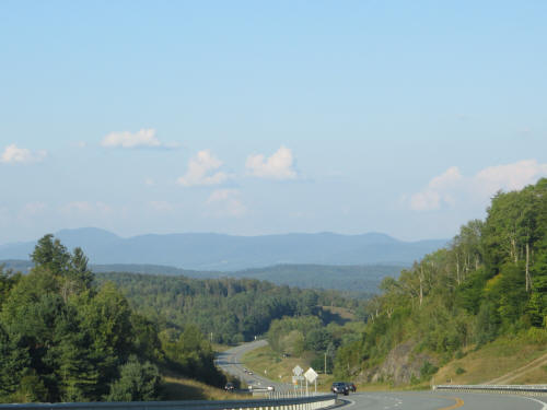
We were on the move again by 1:30 and zipped along on the freeway. This is Green Mountain country and it is well named. Everything is lush and green. There were some awesome vistas. |
 |
 |
|
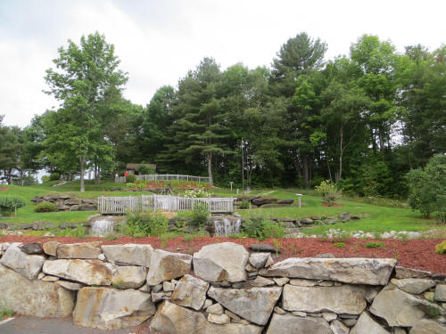
Soon we passed Burlington and before we knew it the 74 miles of speedy freeway driving was over. We exited onto US Route 2 for another twisty 32 mile run, up and down, round and round before we arrived at Sugar Ridge RV Village, our home for the night. We pulled in at 3:20, just as the rain started. It drizzled steadily while hooked up our utility connections and Carol walked the dogs. As soon as we were done the rain stopped and the skies, which had been gray all day, cleared up. Naturally! |
 |
|
We rested for a while and then Carol walked the dogs again before we headed out to explore the local area and search for somewhere to have dinner. We ended up in St. Johnsbury, about 6 miles down the road. Anthony’s Diner whipped up a pretty good burger for me and a hot turkey sandwich for my princess! We were back home with the dogs by 7:30 and settled in for a quiet night of television. Tomorrow we cover 176 miles on our way to Wells Beach, Maine. |
|
|
August 15, 2012 Blue landed on the bed at 5:45 a.m. Thud! Carol did some belly-rubbing (Blue’s) and we all got up at 6:00. I took the dogs out while the coffee brewed and then we spent a leisurely hour drinking coffee, catching up on e-mail and playing with the dogs. After a bowl of cereal and a quick shower I started to unhook the RV while Carol battened things down inside and got the dogs all prepped for travel. By 7:50 we had the car hooked on the tow hitch and got underway. |
|
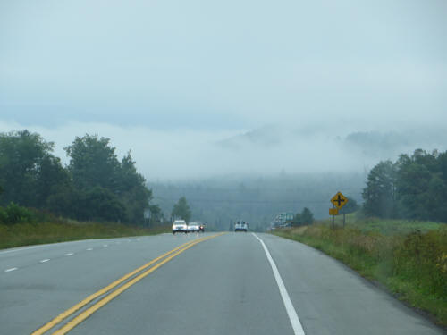
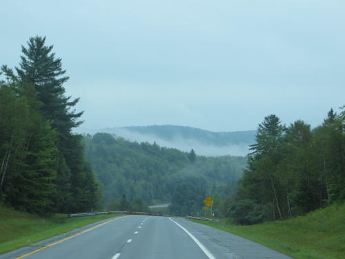
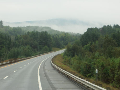
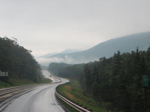
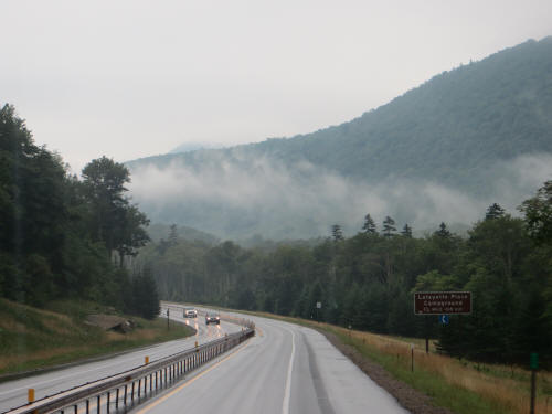
We stayed in this campground about five years ago and when we pulled out to leave that first time the scenery was breathtaking! The campground is perched on top of a hill and as we descended on US Route 2 all the valleys and low areas were filled with fog or low hanging cloud which was shining in the sun. It was as though we were flying above the clouds looking at mountaintops which poked through the mist. Awesome! Today it was the same . . . cloud and mist everywhere we looked. Alas, the skies were overcast today; not like the last time when the sun shone so brightly. It was still very pretty, but the pictures don’t really do it justice because of the gloomy lighting. |
 |
 |
 |
|
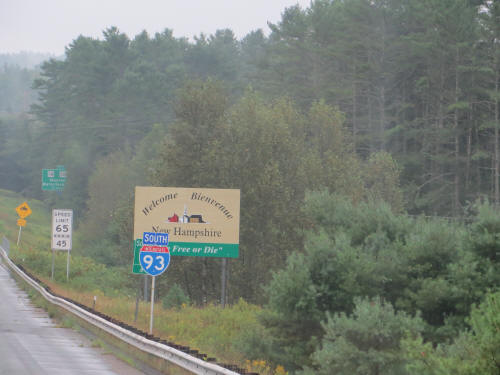
After two miles on US 2 we took the ramp onto I-91 and just two miles later we merged onto I-93 southbound. We followed I-93 for 124 miles to Manchester New Hampshire. We flew past the Welcome to New Hampshire sign at 8:10. Most of our drive was through the White Mountain National Forest and even under overcast skies the scenery was eye-popping. The most spectacular stretch was through the Franconia Notch State Park, in the middle of the National Forest. Wow! I’d sure like to repeat that drive on a nice sunny day! All the way through the National Forest there are big yellow “Moose Crossing” signs. There is a sign every mile or so. After seeing so many signs we began to get excited . . . maybe we’d actually see a moose! Mile after mile we watched but as we approached the southern boundary of the forest, still no moose. Drat! Then in the distance I spotted flashing lights; I slowed down. As it came into sight, it was another Moose Crossing sign. But this was no ordinary sign; it wasn’t one of those diagonal square yellow signs! It was a big portable emergency sign with flashing lights that read: “Moose Crossing – Use extreme caution” WOW! A moose sighting must be imminent! I slowed down and we carefully scoured both sides of the road. Mile after mile we scanned the forest to the left and right. Still no moose! We were both very depressed . . . I suspect that whoever turned on that big flashing sign must have forgotten to tell the moose! He was definitely AWOL! |
 |
 |
 |
|
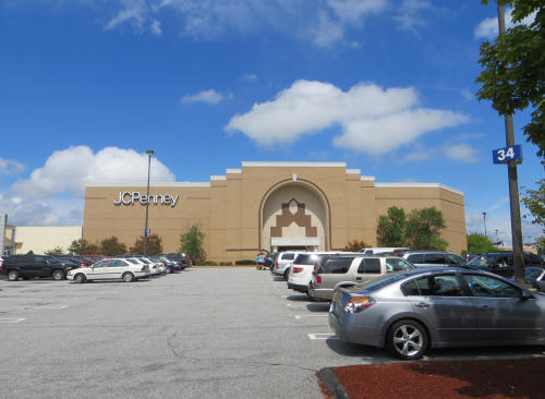 |
At 9:30 we stopped at a rest area near Tilton and I stretched my legs while Carol gave the dogs a short walk. Then we carried on to our first planned stop of the day, The New Hampshire Mall in Manchester. Carol was itching to find a Disney Store and it was right along the way. |
|
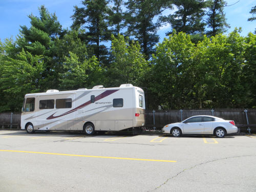
We arrived at the mall by 10:30 and I stayed in the RV with the dogs while my princess enjoyed some retail therapy at The Disney Store and J.C. Penney. She was back after an hour and reported a very successful mission! She picked up some Disney Christmas decorations she’s been wanting and a few Christmas gifts to boot! |
 |
|
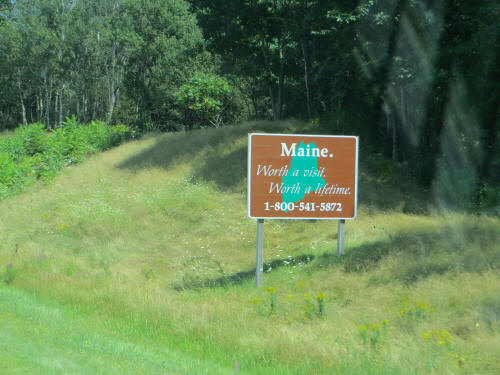 |
We drove on a few miles and made one last stop. Carol picked up a few groceries and we had a quick sandwich before carrying on to the campground at Wells Beach. Back on the road by 12:30, we followed Route 101 to Interstate 95 which took us north into Maine. We crossed the state line at 1:35 and pulled into the campground at 2:15. |
|
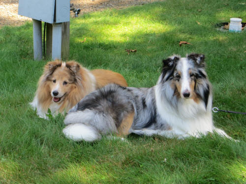
Today we spent a bit more time with set up; we’re going to be here three nights so we put up the awning lights, the Mickey lamp, spread out the patio mat and set up lawn chairs and a small table. The dogs stretched out on the grass and watched. Aaahh! Feels nice to be settled for a few days! |
 |
|
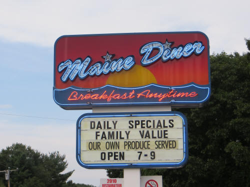 |
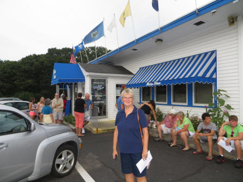
We rested until about 5:30 and then went exploring! Our plan was to drive around a bit to get our bearings before stopping at the Maine Diner for dinner. Two different friends, one from New Hampshire and one from back home in Ontario, both recommended the diner. As we drove by at 5:40 there were people lined up outside the door. Exploring would have to wait! We pulled in and got in line! While we waited we studied the menu and explored the gift shop next door. After about 30 minutes our pager flashed and vibrated; our table was ready. |
|
Carol had a cup of clam chowder and followed it with haddock baked in lemon butter with mashed potatoes. I ordered a cup of seafood chowder and lobster pie with baked potato. The lobster pie was made with chunks of lobster baked in a casserole with herbed breadcrumbs and was served with drawn butter. We sampled each other’s chowders and entrees . . . everything was delicious! Carol insisted that I tuck my napkin in my collar to protect the front of my shirt . . . it was a good call! I ended dinner with a napkin full of drawn butter and a clean shirt. Carol kept saying, “Gosh, this is good!” It was so good that we decided to add dessert, I ordered bread pudding and Carol ordered blueberry pie. Unfortunately the desserts were both disappointing. But overall it was a great meal, the seafood was awesome. Thanks to Gord and Mary Jane for recommending! |
 |
|
After dinner we did the exploring that we skipped earlier. We headed out to the shore at Wells Harbor to check out the dog beach. It looks good . . . now, do we really want wet dogs in the RV? Hmmmm . . . gonna have to think about that! On the way to the harbor we passed two interesting restaurants, Fisherman’s Catch and Lord’s Harborside Restaurant. There were lots of folks lined up outside the Fisherman’s Catch and the lobster at Lord’s comes highly recommended. By the time we got back to Route 1 it was beginning to get dark so we headed home for another quiet night with the dogs. Tomorrow we explore the beaches! |
|
|
August 16, 2012 I forgot to mention a funny thing that happened yesterday. Carol was shopping in the Disney Store and when it came time to check out she presented a 10% off D23 coupon. The cast member apologized, but she had never seen a D23 coupon so she had to check the computer to see how she should handle it. The computer must have instructed her to ask for Carol’s D23 Card to verify her membership. When Carol produced the card the cast member grinned and picked up a walkie-talkie. She pushed the talk button and said, “Mabel, there’s a lady here with a D23 membership card. You ought to see it, Chip & Dale are on it!” Quick as a wink the back door opened up and Mabel came from the stock room to see the card. It turns out that neither of them had ever seen a D23 card. Carol was a minor celebrity. They had quite a chat about D23 membership. |
|
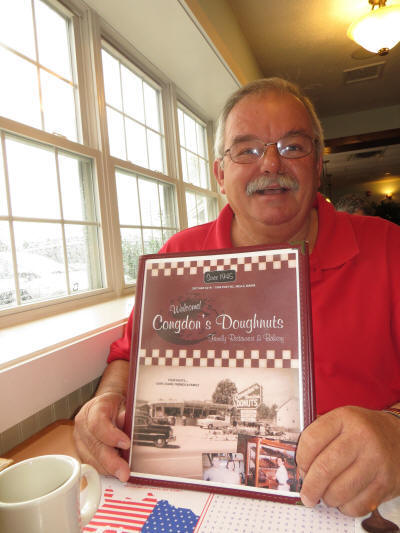
Now, on to today’s activities: The rain in Maine flows mainly down the drain! Last night the Portland TV weatherman said that the rain was about 30 minutes away and that some areas would get heavy rain, up to an inch of rain, with thunder and lightning. It arrived right on time! By midnight it was raining, it was pouring . . . and yes, I was snoring! Carol tells me we even had thunder and lightning . . . maybe we did, I don’t know! When I awoke at 6:00 a.m. the rain was still drumming on the roof. What do you do on a rainy day in Maine? Well, you start by staying in bed until 7:00 and then you drink a few cups of coffee while you watch the rain fall. By about 8:00 you start to think about breakfast. A friend had recommended Congdon’s which is almost next door to the campground, so off we went. It was very good. Carol ordered Blueberry Pancakes and I had Eggs Benedict. Our waitress convinced us that we just HAD to try their special doughnut of the day; a honey dipped which was also stuffed with jelly. It was very good. Carol said she could have eaten some more of those, but we managed to resist. |
 |
|
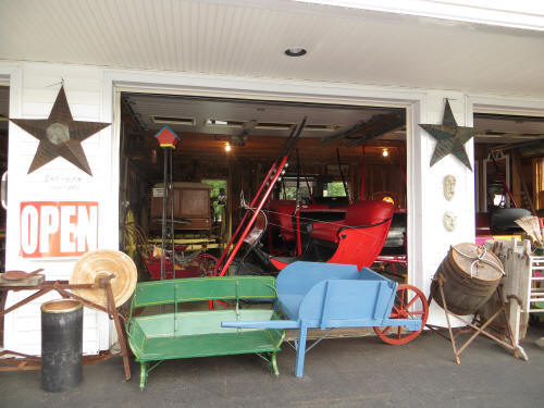 |
We were back to the campground by 9:00 and loaded the dogs in the car. They were coming along for this morning’s adventure. We headed south along Route 1. We planned to go to York Beach and then work our way north hugging the coastline. Naturally we had to make a few shopping stops along the way. The first thing to catch Carol’s eye was a display of birdhouses. We pulled in and found a display of 3,000 cookie jars for sale, along with some horse-drawn sleighs and buggies. It was quite an eclectic variety of merchandise! Carol’s Visa survived unscathed. |
|
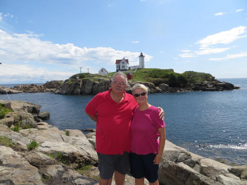
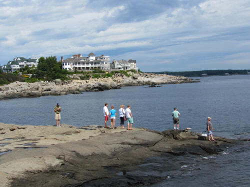
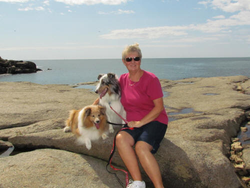
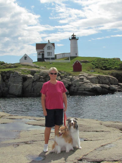
Next stop was a Thrift Shop. Carol simply cannot drive past a Thrift Shop. Once again, no damage to the Visa card. A bit further down the road more birdhouses caught her eye, still no purchases. This is shaping up to be a good day! Soon we got to York and turned off Route 1 heading for the beach. We were on a mission to find our first lighthouse at York Beach. The Nubble Lighthouse sits on a small island just a short distance from a rocky shore. The surrounding scenery is amazing, we stayed and took plenty of pictures. |
 |
 |
 |
|
 |
We continued north and as we drove along Kendall Road, overlooking Short Sands Beach, Carol said, “I want this. Look at that house right there! Look at this view. I want this, I want to live here and I want it now!” I pretended not to hear and we drove on. |
|
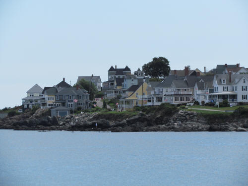 In front of these homes Carol said, "I want this, I want to live here and I want it now!” |
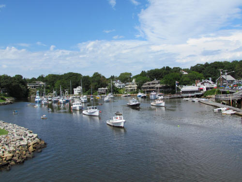
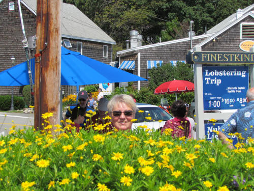 Perkins Cove |
|
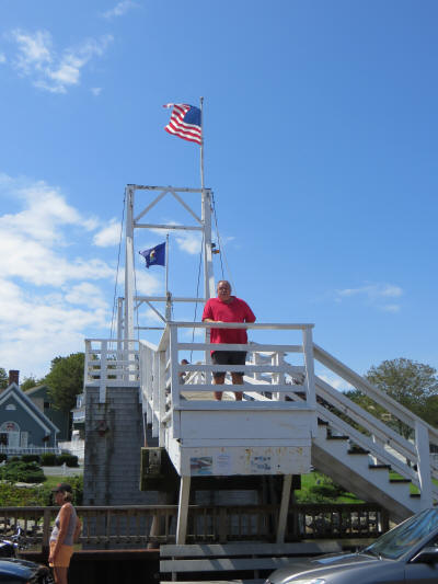
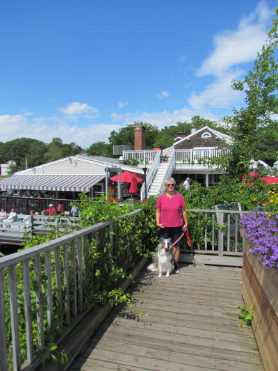
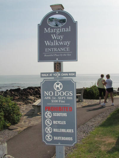
Soon we arrived at Perkins Cove. The dogs were very excited about walking The Marginal Way Oceanview Path. It’s a nice level walkway which follows a rugged, rocky coastline for about a mile, from Perkins Cove to Ogonquit. We put the dogs on their leads and as we approached the entry to the walkway we stopped . . . what the heck? No dogs? Really? Sorry fellas, we can’t go. So we took them for a walk around Perkins Cove, a quaint little harbor and shopping area. |
 |
|
 |
 |
|
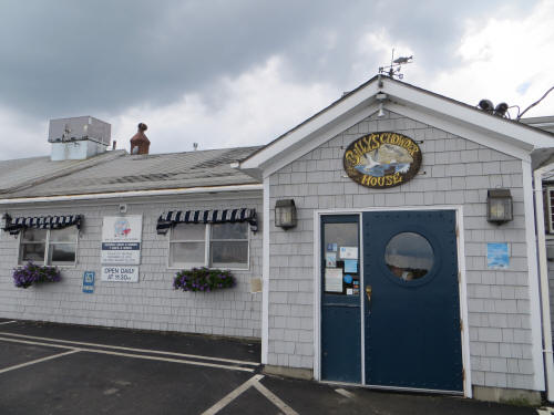
We hopped back in the car and took a leisurely drive along Shore Road through Ogonquit on our way back to the campground. Gosh it’s a pretty area! We dropped the dogs off at about 12:30 and headed of to Billy’s Chowder House. Our friend Susan recommended it so we had to give it a try. Thanks Susan, it was great! We each had a cup of clam chowder and Carol ordered lazy lobster (removed from the shell) and I had two appetizers, bacon-wrapped scallops and clam strips. Wow! It was all great! |
 |
|
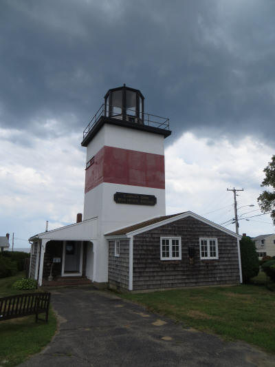 |
We headed on down Mile Road and drove along Atlantic Avenue enjoying the entire length of Wells Beach. The road dead-ends at Wells Harbor so we doubled back and then took Webhannet Drive and Ocean Avenue through Moody, passing the Point Moody Lighthouse along the way. |
|
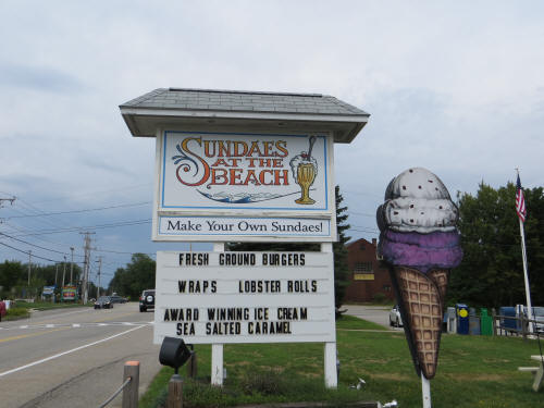
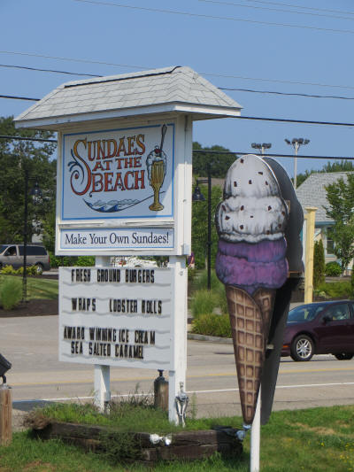
We followed Ocean Avenue until it dead-ended at Ogonquit Beach, then headed back to Route 1 on our way back to the campground. Carol needed just a few more stops, first the Post Office. This was our third Post Office stop and she finally found one which had the new Pixar stamps. Hooray, she can mark that off her list! Right next to the Post Office was Sundaes At The Beach. Wow, they make their own ice cream on the premises. For $5.99 you get a bowl of whatever flavor you prefer then you get to visit the topping bar where you build your own sundae. Carol savored every last drop of ice cream and then pronounced it the best she has ever had. I expect we’ll be back there again before we leave. The “sea salted caramel” ice cream was terrific! |
 |
|
One last stop at a shoe store and we headed back to the campground. For those keeping score, Carol made about six shopping stops and her only purchase was a sheet of stamps. Wow . . . how long can this last? After relaxing with the dogs for a while (decoded - we had a nap) Carol said, “It’s almost dinner time but I’m still full. Where is the nearest Christmas Tree Shop?” I googled it – only 30 miles away. We loaded the dogs in the car and off we went. This time the Visa took a hit, but the damage was minor! As we pulled out of the plaza she said, “Oh, look – there’s a Goodwill Store. Isn’t that the same as Value Village back home?” I waited in the car with the dogs for about 10 minutes and she soon came out empty handed. |
|
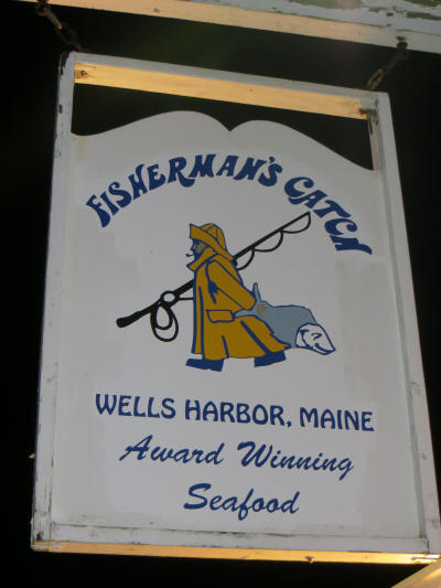
We were back home by 8:00 and dropped the dogs off before heading off to The Fisherman’s Catch for dinner. This was the place we spotted the previous evening. Even at 8:15 we had to wait about 30 minutes for a table. After a big lunch neither of us was really hungry so we each ordered a cup of chowder, a salad and an appetizer. Carol had clam strips and I had fried scallops. It was all very good. We were back with the dogs by 9:30 and settled in for the night. Tomorrow we will leave the dogs behind and head to Perkins Cove to stroll the Marginal Walk, then we will head toward Kennebunk and Kennebunkport to explore that area. |
 |
|
|
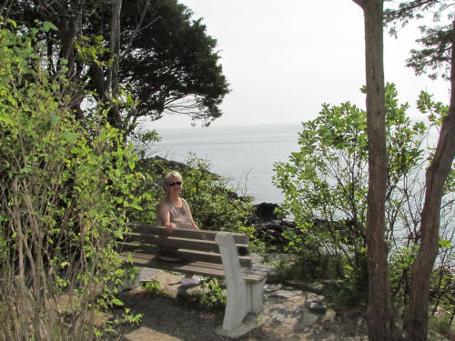
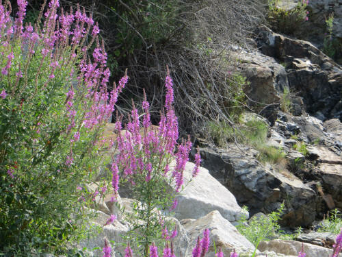
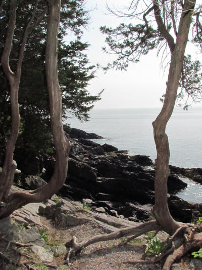
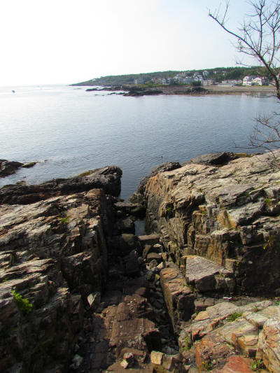
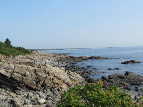
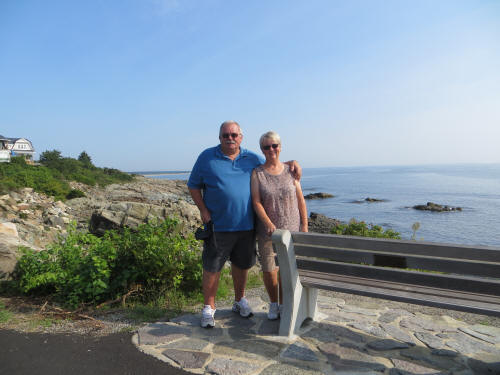
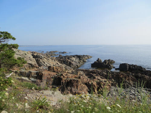
August 17, 2012 Today we hit the ground crawling! We took our time getting rolling; I had a bowl of cereal and by 9:00 we were on the road. We drove directly to Perkin’s Cove and began our trek. Wow! What a gorgeous walk. |
|
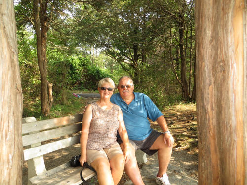
In 1925 Josiah Chase, Jr. donated the original parcel to the Town of Ogunquit. The property was the fringe of his property and skirted an amazing ocean vista from Perkin’s Cove to Israel Head. In the intervening years other property owners have conveyed property in order to complete the walkway all the way to Ogunquit Beach, a length of 1 ¼ miles. The paved walkway is easy to walk with no significant grades and there are plenty of benches to sit, relax and enjoy the view. |
 |
|
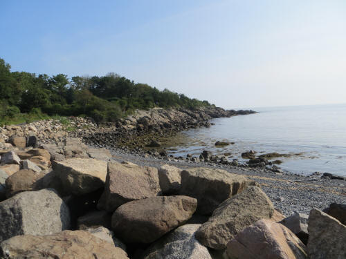 |
We took our time along the trail and really enjoyed the walk! |
 |
 |
 |
 |
|
 |
 |
 |
 |
 |
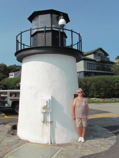
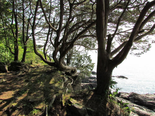
Near the Ogunquit Beach end of the walk is the Little Beach Lighthouse. You can see why they call it little. |
|
To see why they call it beach follow this link to a web cam installed on the lighthouse. http://marginalwayfund.org/photos-webcam/lighthouse-webcam/ |
 |
 |
 |
|
The walk back to Perkin’s Cove was just as enjoyable as the first leg of the trek. The tide was coming in so we saw a different view on our return trip. We finished the walk at about 10:30 and were glad to get back into an air-conditioned car. The sun was blazing and it was well on the way to the forecast high of 81 degrees. On the way back to the campground Carol just had to stop at a tacky tourist trap to look at the cheap trinkets. I think it was merely a ruse . . . the store was very close to Sundaes At The Beach so of course we had to stop for a “build-your-own” sundae. Carol said it was “lunch”. The store does not open until 11:00 a.m. so we had a 10 minute wait but it was worth it. Wow, the sea salt caramel was just as good the second time! |
 |
|
We went back to the campground, had a quick sandwich for dessert then loaded the dogs in the car. We spent the afternoon exploring further up the coast toward Portland. Our first stop was Kennebunkport. It’s a quaint little seaside town, just full of interesting shops and restaurants. We followed Sea Road to the beach and then Beach Avenue all along the beautiful sandy beach and into the heart of the village. There was a collectibles shop right beside the bridge that Carol had to investigate so we ducked into the first available parking spot and walked back, about a block, to the store. I waited on the sidewalk with the dogs but a passing truck frightened Blue so badly that we headed back to wait in the car. The streets in these little towns are very narrow and the traffic is intense! Carol bought a small Disney figurine and we carried on, down Ocean Avenue following the Kennebunk River to Cape Arundel. There is a very busy harbor and some pretty scenery all along the river. |
|
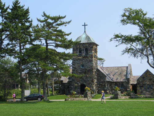
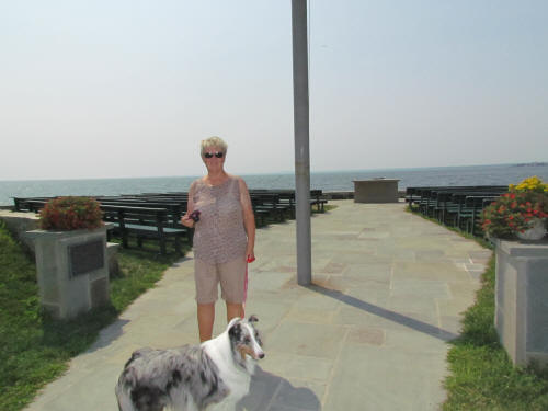
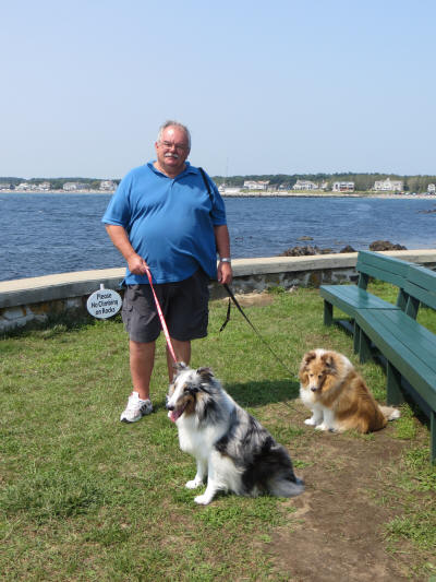
We stopped and took a few pictures at St. Ann’s Episcopal Church, built in 1887. They have an outdoor chapel overlooking the harbor. It must be an amazing place to worship. |
 |
 |
 |
|
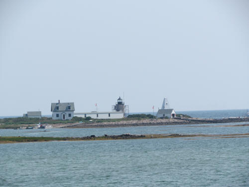
Just around the corner from St. Ann’s we came to Walker’s Point. There were no signs to tell us what those huge buildings were. We speculated that it might be a lodge, a resort or a huge restaurant. Access was controlled by what appeared to be a well-manned guard post just off the main road. Later when we got home Carol googled Walker’s Point. It’s the Bush Family compound. Those guards were Secret Service agents! Next along the shore was Cape Porpoise where we discovered the Cape Porpoise Lighthouse. Then we headed to Goose Rocks and drove all along the beach. Like many beaches in the area there was no parking and only limited public access. All we were seeing was the back of some pretty impressive homes so we turned around and headed on toward Kennebunk. Along the way Carol said, “I want to go to Oak something.” “Sure,” I replied, “Where is it?” “I have no idea, turn right here.” So I did. That’s when we left all the scenery behind and lost our bearings. We drove for close to an hour, not having any idea where we were, where we were going or where we had been. We passed through Biddeford and entered Saco when we finally spotted Route 1. Finally a familiar landmark . . . so we turned and followed Route 1 through Kennebunk and arrived back at our campsite at about 3:30. The dogs were pleased to get home and stretch! |
 |
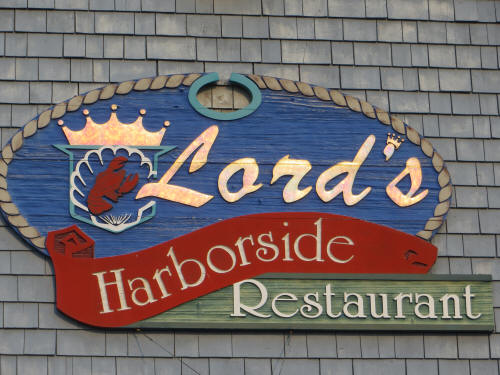 |
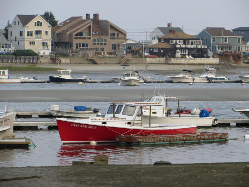
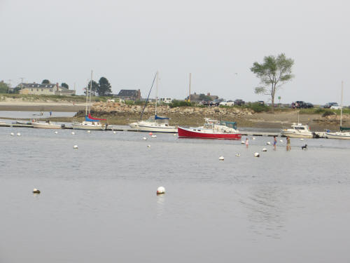
After some quality time with the dogs Carol woke me up and said we’re going to Lord’s for dinner. We arrived early and dodged the crowd. A table was ready when we arrived at 5:40; so nice to be seated immediately. Carol had a tossed salad and shrimp scampi. I had a cup of chowder, tossed salad and a seafood and pasta casserole. It was all terrific. Carol sampled my chowder and pronounced it the best so far. When we left Lord’s at about 7:00 p.m. there was a big room full of people waiting to be seated. Most were being told there was a 45 minute wait! Good timing for us. After dinner we wandered over to the pier next to the restaurant and watched a group of people with their dog walk on the many sandbars exposed by the low tide. Even at low tide the harbor was a busy spot. |
 |
 |
|
Carol picked up a few small items at a nearby drug store and we headed back to the campground. At 9:00 we hopped in the car and headed back to Sundaes At The Beach . . . it was our last chance for that great caramel ice cream. We each had a sundae and Carol bought a quart to take home with us. Yum! Tomorrow morning we pack up and pull out of Wells Beach Resort. Our next stop is 112 miles north at Rockport, Maine. |
|
|
August 18, 2012
Blue landed at 5:50 this morning but I didn’t get up
until 6:15. Carol followed about 20 minutes later. It had rained most of
the night and once again Carol reported thunder and lightning. It was still
drizzling lightly. I savored a couple of cups of coffee while fiddling on
the internet. Once I was all up-to-date it was time to unhook the RV and
get ready to pull out. I did the outdoor knock-down while Carol did the
interior. By 8:30 we had the car hooked on the back; I put on a dry shirt
and we pulled out on our way to Rockport. |
|
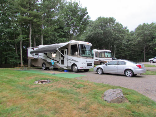
Wells Beach Resort is a great campground in a wonderful
area; we were sad to leave. Our campsite was at the very back of the
campground, a very quiet and private area. We were far away from the hustle
and bustle (and noise) of Route 1 and we backed onto an empty tent-camping
area where we could toss a ball for the dogs. Blue seemed a bit “edgy”
throughout our stay; he may have been hearing some critters in the woods. |
 |
|
 |
We followed I-95 to Portland, then took I-295 as far as
Brunswick where we turned onto Route 1 for the rest of our journey. We had
been concerned that we might encounter heavy weekend traffic but it was
surprisingly light. I filled up with gas at Brunswick, $246.10 for 64.76
gallons. Soon we spotted our fist moose . . . it was a guy in a Bullwinkle
suit trying to lure customers into a discount stereo store! |
|
Other than a bit of construction on I-295 through
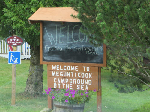
Portland the trip was uneventful. We pulled into Megunticook Campground by
the Sea at 11:30. Our campsite was ready so we unhooked the car and backed
right in. By 12:15 we were all set up and settled. The last occupants of
the site apparently didn’t believe in picking up after their dogs; Carol
filled three bags with the souvenirs they left behind for us!
We were both hot and sticky after setting up so we took a
few minutes to clean up and cool off, then had a quick sandwich in the RV. |
 |
|
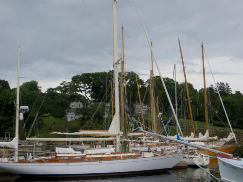 |
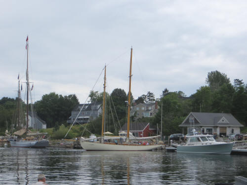
At 1:15 we loaded the dogs in the car and went
exploring. We headed further north on Route 1 and soon entered the village
of Rockport. They have a lovely harbor area where we stopped to admire some
large sailboats before driving on around the coast of Beauchamp Point. The
point is lined with amazing homes; you could film several episodes of
Lifestyles of the Rich and Famous here! Most of the homes have huge hedges
or stone walls which block the view of what is most likely a beautiful
coastline so we had to be happy with brief glimpses. |
 |
 |
|
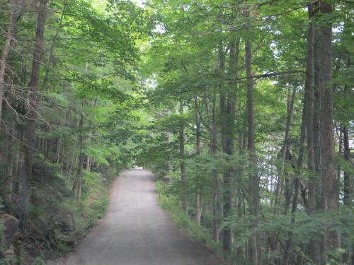
Before we reached the bottom of the point we came to a
spot where the road narrowed and the pavement ended. The one lane path
ahead was canopied with dense trees and a sign warned, “Slow, Bicycles,
Pedestrians, Dogs” – we weren’t sure whether or not to proceed in the car.
Just then a lady walked up, striding purposefully as though she knew the
area well. We asked whether cars were allowed. “Oh yes,” she replied,
“This is the prettiest area on the point. Don’t miss the Children’s
Chapel.” She gave us directions to the chapel and off we went. |
 |
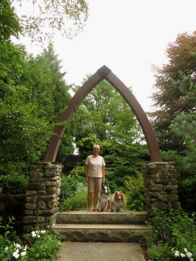 |
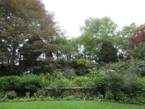
Wow, the quaint little outdoor chapel was great. It sits
high on a hill overlooking West Penobscot Bay. It’s beautifully landscaped
and a very popular spot for outdoor weddings. The land was donated years ago
by a local lady and is now maintained by the Rockport Horticultural
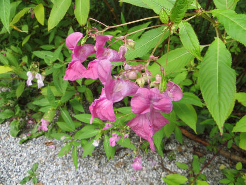
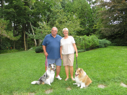
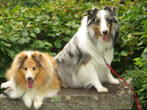
Society. Carol took plenty of pictures of flowers and Zak and Blue
appreciated the opportunity to stretch and romp a bit! |
 |
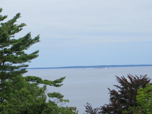
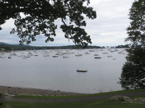
The view from the chapel. |
 |
 |
|
 |
 |
|
We carried on up the shore of West
Penobscot Bay to Camden and toured around picturesque Camden Harbor before
heading back to the campground. |
|
After a bit of a rest we fed the dogs and took them for a
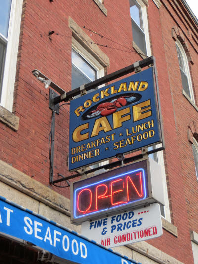
walk; then struck off to nearby Rockland where we had dinner at the Rockland
Café. For a change of pace we didn’t have seafood. Well, OK I had a small
bowl of seafood chowder, but I followed it with a Monte Cristo sandwich.
Carol had a Philly cheese steak sandwich. It was all good. |
 |
|
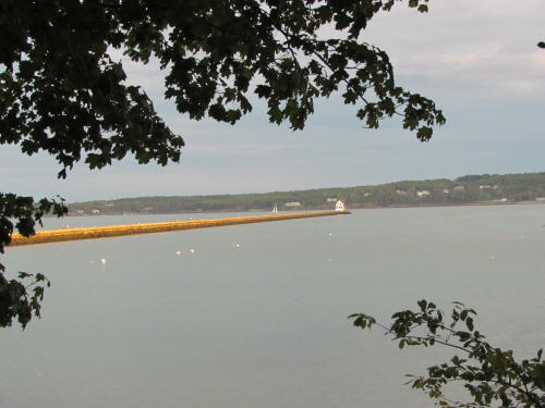 |
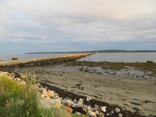
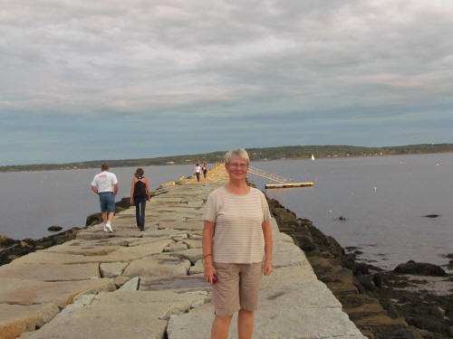
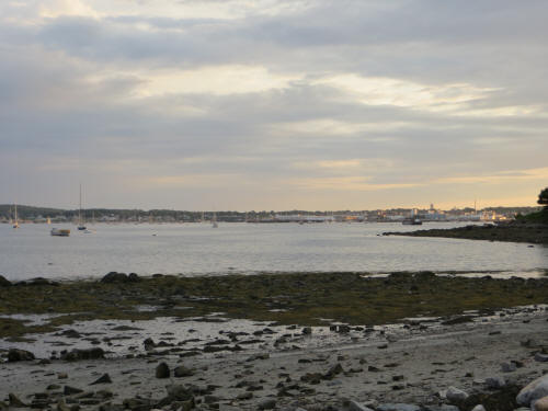
The sun was starting to set as we took a drive around
Rockland to explore the harbor. We ended up at the Rockland Breakwater.
Very pretty! The breakwater is 4,300 feet long and is made of huge granite
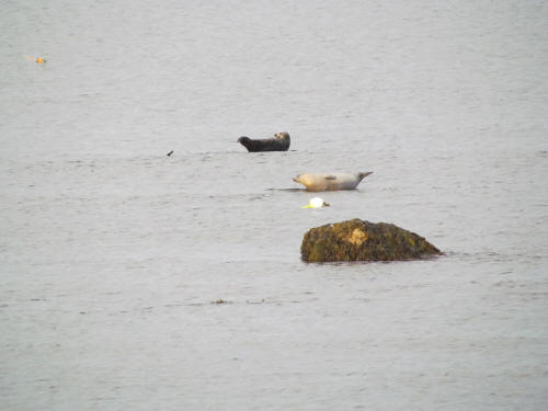
blocks. We walked part way out to the lighthouse, but once Carol spotted
the seals basking in the setting sun and frolicking in the water our walk
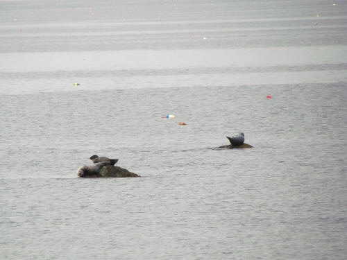
stopped. We stood watching them until the light began to fail. |
 |
 |
 |
 |
|
 |
We were back home with the dogs by 7:30
Tomorrow we will probably head south to the Boothbay
Harbor area and follow the coast back to Rockport.
|
|
|
August 19, 2012
Our Three Lighthouse Day began with a squeeze play! When
I woke at 6:45 Blue was stretched out across the end of the bed between
Carol and I. When he stretches out he’s about 4 feet long which left Carol
and I each about six inches for our feet. Something had to give . . . so
Carol got up!
Once she rattled the kibble into the bowl Blue followed
as well; I wasn’t far behind.
After a shower and a bowl of cereal I was all ready to
face the day. We loaded up the dogs and pulled out at 8:45. We backtracked
south along Route 1 south for 36 miles to Wiscasset where we turned onto
State Road 27 and followed it to Boothbay Harbor. It’s another quaint
little harbor town, filled with interesting shops, hotels, B & B’s and
restaurants. It’s a tourist Mecca . . . but we had no time for that! We
had 130 miles to cover on these twisty, hilly little back roads so there was
no time to shop! |
|
We drove directly through the main tourist area of
Boothbay Harbor (Carol twitched and flinched a few times but she didn’t say
a word about shopping) and followed 27 onto Southport Island. Soon we found
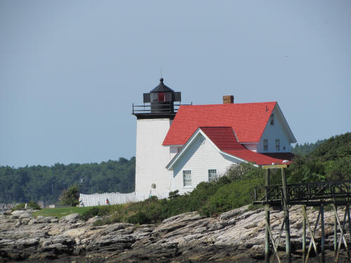
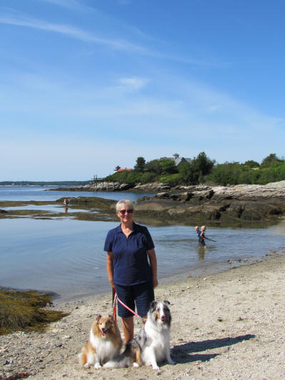
our first destination – Hendrick’s Head Lighthouse. |
 |
 |
 |
|
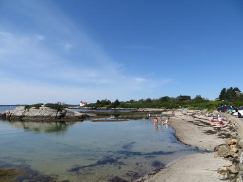 |
This light has marked the mouth of the Sheepscot River since 1829. It is
near the part of Southport Island now known as Cozy Harbor and six miles
from Boothbay Harbor. In 1991 a couple from Alabama bought the 4 1/2-acre
lighthouse property and restored all of the structures. The buildings
survive in beautiful condition and the fixed white light with red sectors
continues as an active aid to navigation.
Since it’s privately owned, access is restricted and we viewed it from a
nearby beach. |
|
Soon we were back on the road headed to our next lighthouse. We took
State
Road 27 to River Road which we followed to Damariscotta. River Road is a
misnomer; we had one fleeting, peripheral glimpse of the Damariscotta River
in the first mile and then not a single sighting the rest of its length.
At Damariscotta we turned onto State Road 130 and followed it all the way
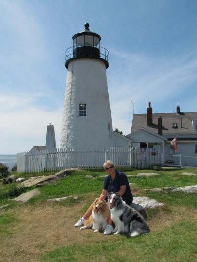
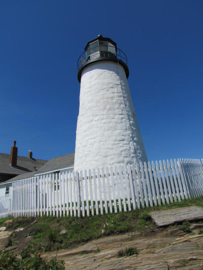
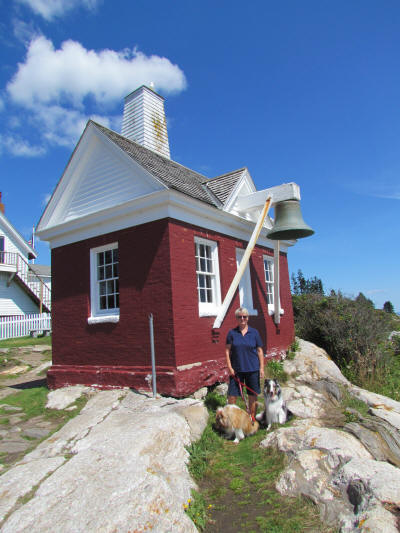
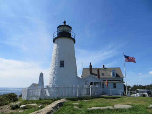
to the Pemaquid Point Lighthouse. This was the best lighthouse yet! This
spot is one of the most frequently visited attractions on the Maine coast,
receiving about 100,000 visitors each year. This light has marked the
entrance to Muscongus Bay to the east and Johns Bay to the west since 1827.
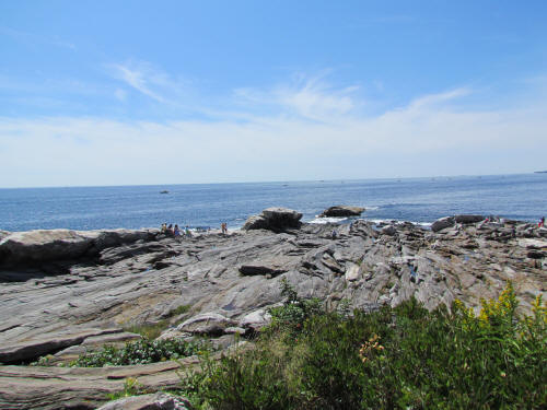
Streaks of weathered granite reach out into the sea in front of the light.
It is a beautiful place. |
 |
 |
 |
 |
 |
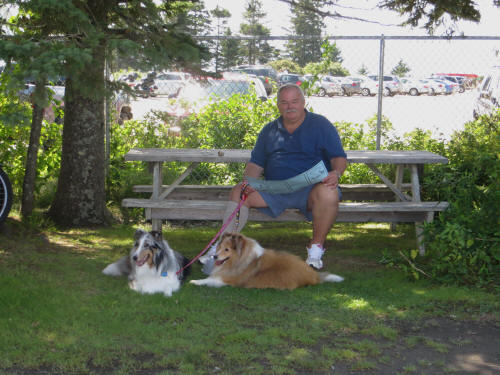 |
We stopped at the Sea Gull Restaurant beside the light and had a quick bite
of lunch at a shady picnic table, then carried on once more.
Once again we followed State Road 130 and soon turned onto State Road 32
which, unlike River Road, hugged the water and gave is some wonderful
scenery as we followed the shore of Muscongus Bay. |
|
At Waldoboro we returned to Route 1 and headed north to Rockland where we
turned onto State Road 73 and then North Shore Drive which took us to the
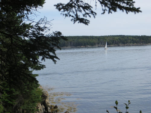
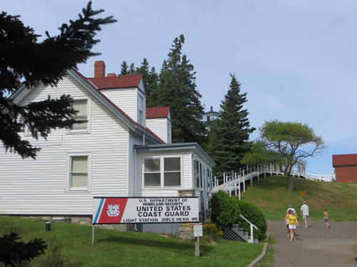
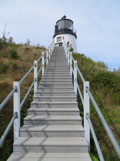
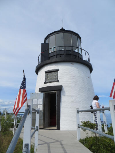
Owl’s Head Lighthouse. As we approached the walkway leading to the light
we noticed the sign which read “No dogs beyond this point.” The dogs
growled and so did I. Carol carried on to the light and I waited near the
car with the pups. She brought back some nice pictures!
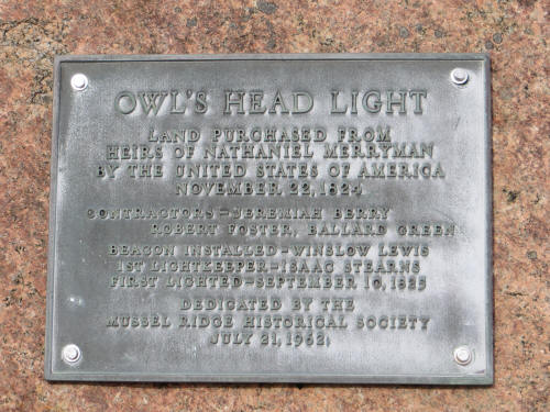
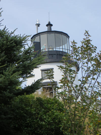
President John Quincy Adams authorized the building of Owl's Head Light in
1825. A tall lighthouse was not necessary because of the height of the
promontory. The light is exactly 100 feet above sea level. The present
lighthouse replaced the original one in 1852. |
 |
 |
 |
 |
 |
|
 |
It was almost 3:00 as we left Owl’s Head and made our way back to the
campground. Our only stop was a quick detour into the Goodwill Store; it’s
the same as Value Village back home. Carol cannot drive past one without
stopping to hunt for bargain Disneyana. Today’s find was a Snow White and
the Seven Dwarfs plate from Knowles – a Limited Edition and a bargain at
only $7.99. |
|
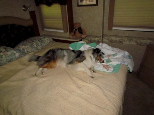
We were back home by 4:00 and everyone laid down for a well earned nap.
Blue didn’t even get up when his dinner time rolled around. He must have
been tired! |
 |
|
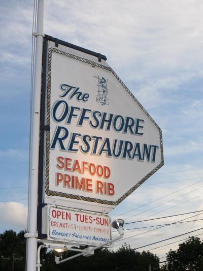 |
By 5:45 the dogs were fed and it was time for Carol and I to find some
dinner. We went to the Offshore Restaurant, just about a mile south of the
campground. It was good, a nice fresh salad bar and good seafood. Carol
had a shrimp and haddock dinner and I had fried clam strips. We have had
some very good seafood meals but we have not been “Wowed” yet. Maybe our
“Wow” meal will come in BaHaba (Bar Harbor). |
|
We were back to the campsite by 7:15 and we did something very unusual. We
had a campfire! We pulled the lawn chairs up beside the fire pit and sat
there until we smelled like Smoky the Bear. By 8:30 our eyes were burning
and the bugs were biting so Carol doused the fire and we headed indoors.
Tomorrow we will pack everything back into the car and the RV and move a bit
further north. We will drive 63 miles to Trenton Maine, near Bar Harbor,
where Timberland Acres RV Park will be our home for three nights. |
|
|
August 20, 2012
Hooray, Hooray, Blue slept in! We didn’t get out of bed until 7:20! After
a late start we took a slow pace getting ready to pull out. Since we don’t
have far to go there was no need to rush; what a nice change!
We followed our normal routine, coffee, internet, bowl of cereal and then
got started packing up. Carol even took time to vacuum before we pulled
out! Well, she almost vacuumed . . . as I was unhooking the water line she
popped out the window and scolded me for unplugging the electric cable. I
said, “Not me, I didn’t unplug anything!” As I was checking the outside
circuit breaker and Carol was checking the breaker inside, along came the
campground manager to let us know power was out throughout the campground.
The vacuuming would just have to wait!
I finished all the rest of the disconnects; Carol got everything inside
stowed away; we hooked up the car and pulled out at 9:10. |
|
 |
We were on US Route 1 for 60 of the 63 miles we travelled. The road was
rough for the first 5 miles then smoothed out and we made good time until we
hit the construction zone. They are resurfacing about 10 miles of highway
and the going was slow. The highway followed the coastline and we had some
pretty scenery from time to time. |
|
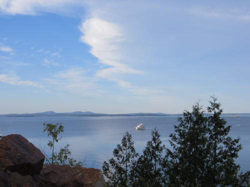
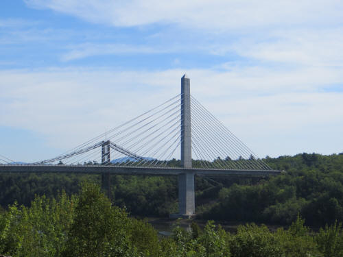
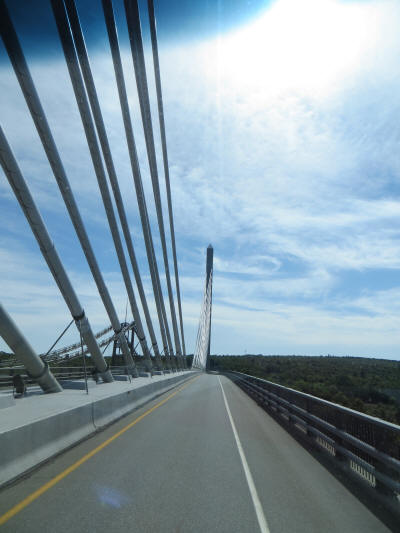
At Verona we crossed a huge bridge onto Verona Island before crossing a
smaller bridge into Bucksport. |
 |
|
 |
Before we knew it we passed through Ellsworth and turned onto State Road 3
for the last three miles of our trek. SR 3 is like most of the roads in
Maine, the posted speed limit is 45 MPH. I suspect that the road engineers
set the speed limit as some kind of joke. These roads are like roller
coasters; we hardly ever hit 40 MPH in the car. In the RV we seldom hit
35! Thankfully it was only three miles. |
|
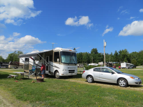
We pulled into Timberland Acres RV Park at 11:15 – our campsite was ready –
bonus! On the way back to our site we stopped and filled up with propane.
We last bought propane on our way to Florida last January. The furnace,
water heater and refrigerator have used 12.5 gallons since then.
We were all set up in our new home by 12:15. After a light lunch in the
motor home we walked the dogs and then hopped in the car. Carol needed a
few groceries so we headed back to Ellsworth to do some shopping. First
stop was the L.L. Bean Outlet Store. It was our first time in one of their
stores; we browsed but nothing caught our interest. Next stop – Walgreens.
Carol was hoping they would have some Halloween decorations out but no luck,
not yet. Once again she emerged empty handed. On the way to WalMart we had
to pass a Goodwill store, can’t pass them by! I waited in the car and I was
surprised when she came out just a few minutes later. She found a small
Christmas gift ; on we went to WalMart. She stocked up on a few groceries
and we headed for home. Well, after detouring into a shoe store we went
home.
We were back to Timberland Acres by 4:00, unpacked the groceries and spent
some quality time with the dogs. |
|
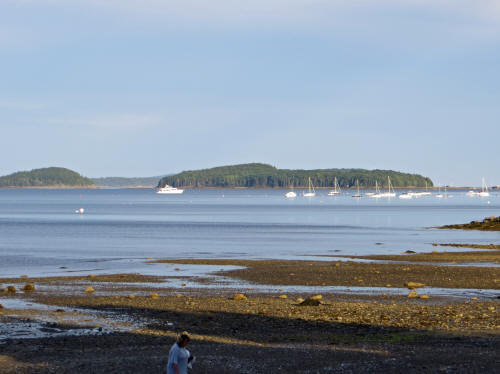 |
By 5:30 the pups had been fed and walked. We pointed the car toward Bar
Harbor to explore. Wow! The town is packed! We were looking for a place
to have dinner and there were plenty to choose from. Only one problem – we
couldn’t find a parking spot. |
|
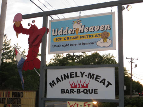
We headed back toward the campground and stopped at Mainely-Meat BBQ – we
had spotted it on our way to Bar Harbor. Oh look, they make ice cream on
the premises . . . how convenient! Carol had a half rack of ribs and I had
a burger. Both were good. Carol said the ribs were very, very good. They
weren’t WOW ribs but they were very, very good.
Naturally we saved room for ice cream. It too was very good but not WOW.
There are plenty of ice cream shops in the area so we’ll sample a few more
I’m sure! |
 |
|
 |
We were back with the dogs by 8:15. |
|
|
August 21, 2012
Today we were heading off to explore Acadia National Park. Blue was so
excited that he woke us up before 7:00 a.m.
I enjoyed some wonderful wild Maine blueberries on my bowl of cereal as I
carefully studied the map. We have decided that when you travel in Maine
you should never rely on road signs to find your destination and if you ask
a local for directions it probably won’t help. Here’s an example . . .
yesterday, as we were driving toward Ellsworth on US Route 1, I noticed a
roadside sign. It told me I was travelling northbound on Route 1,
Southbound on Route 15 and eastbound on Route 3 . . . all at the same time.
So just imagine that you ask someone from Maine for directions and they tell
you, “Go north on Route 1 then take Route 3 east until you get to Route 15.
Follow Route 15 south.” Yesterday we did all that without moving an inch! |
|
I had fully absorbed the map by 8:45 we were on the way. Our first stop was
the nearby Hull’s Cove Visitor Center where we picked up our park pass.
They charge $20.00 for a carload and the pass is valid for seven days. What
a bargain! Carol picked up a booklet which described the sights along the
Park Loop Road in the order we would encountered them. Off we went, booklet
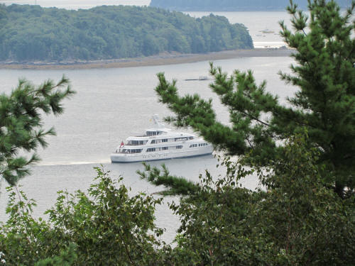
in hand! We stopped at Frenchman Bay Overlook, a pull-off parking area on
the side of the road and admired the vista of the bay where Samuel de
Champlain sailed in 1604. An interesting bit of trivia: this area was
dominated by the French for 150 years is one of only two areas in the USA
where property titles can be traced back to the King of France. The other
area is Louisiana. |
 |
|
 |
We passed the Duck Brook Bridge, an interesting stone arch bridge and then
made a wrong turn which took us to Cadillac Mountain. We had planned to
scale the mountain later in the day but since we were almost there we
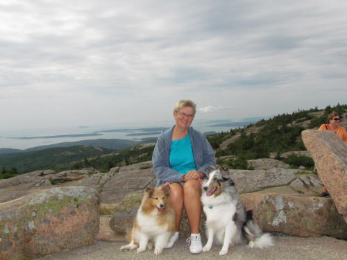
carried on. Wow! It’s magnificent. The road twists and winds through a
number of switchbacks as you climb to the highest peak along the Atlantic
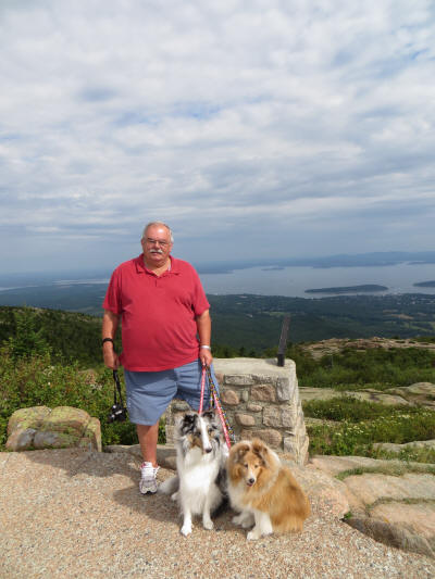
seacoast. At the summit you are 1,530 feet above sea level. That’s the
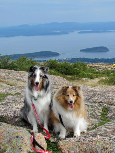
highest Blue has ever been. Zak is a veteran mountain dog; he scaled Lake
Placid’s 4,610 foot Whiteface Mountain in July 2008. The view is amazing .
. . 360 degree views of Mount Desert Island, the surrounding islands and
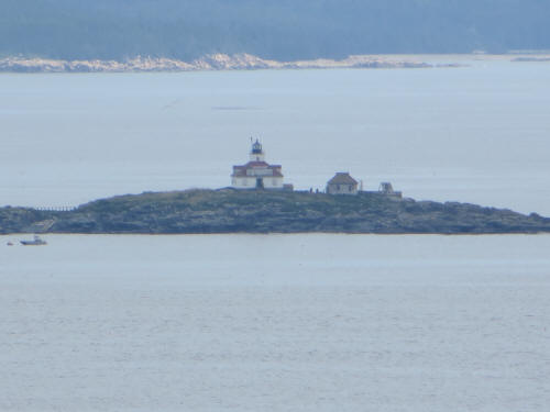
Acadia National Park. We could see Egg Rock Lighthouse in the distance.
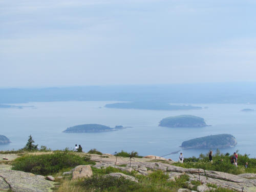
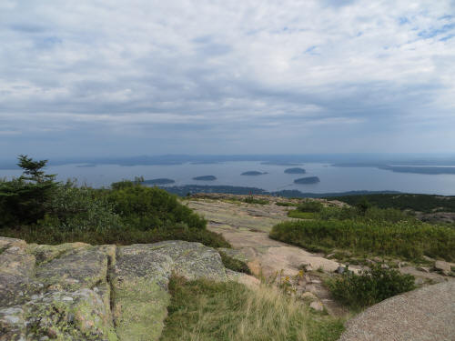
The summit has a nice gentle, paved walking trail about 1/3 mile long so
access to all the viewing angles is easy. Too bad it was overcast and hazy. |
 |
 |
 |
 |
|
We spent about 40 minutes at the summit then loaded the puppies back in the
car and backtracked to where we I made that wrong turn. We resumed
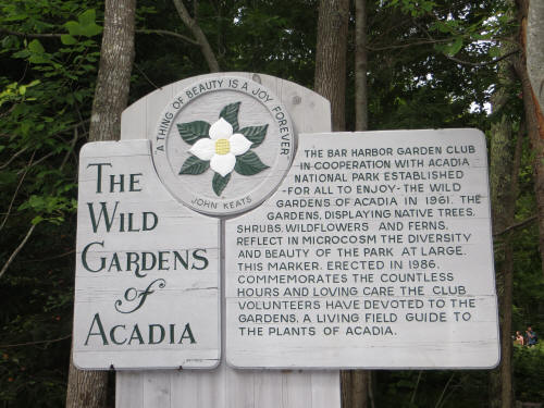
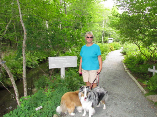
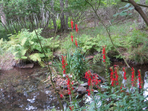
our tour on Park Loop Road. We stopped at the Wild Gardens of Acadia and
the Sieur de Monts Spring. Carol really liked the flowers. |
 |
 |
 |
|
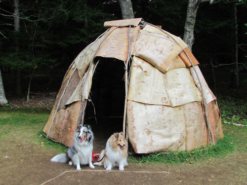 |
The puppies really liked the birch bark wigwam. |
|
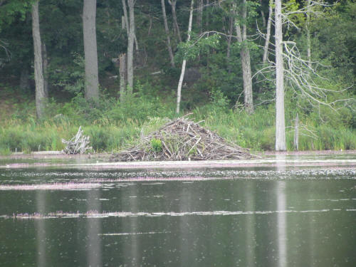
Back on the road we soon came to Beaver Pond. There were plenty of beaver
hutches but since they’re nocturnal we didn’t see any beaver. They
apparently come out at dusk; the dogs didn’t want to wait. |
 |
|
The park is laced with walking and hiking trails and there were cars parked
near all the trail entrances. It’s also a haven for cyclists who were
almost as plentiful as the pedestrians.
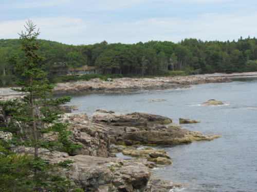
Before long we arrived at Schooner Head, a pretty rock outcrop along the
coast. We were about half way down the trail to the head when Zak gave us a
look which said, “I’m a dog, not a mountain goat.” The poor old guy was
tired and he was limping. Carol turned around and took him back to the car;
she had to carry the old guy the last few hundred yards. Blue and I carried
on to Schooner Head and I took a few pictures. |
 |
|
 |
 |
|
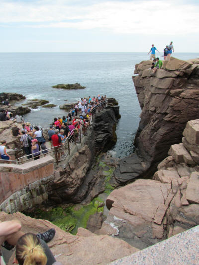
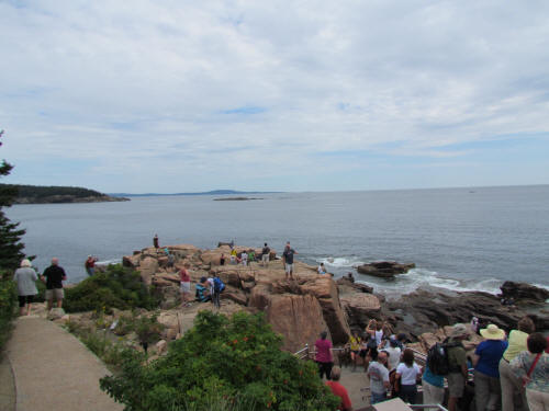
There was nowhere to park when we passed Sand Beach so we passed it by and
carried on to Thunder Hole. This is an interesting rock formation. At
about three-quarters high tide the water spills into a basin and wave action
sends spray flying in all directions. Carol stayed with the dogs while I
hiked down to the hole. The place was jammed. It was still at least an
hour until the water would rise to fill the basin and there were hundreds of
people waiting. I took a few quick pictures and we carried on. |
 |
|
 |
It was now about 1:00 p.m. and we were getting hungry so we left the park
and headed to the village of Seal Beach looking for lunch. We found a
pizzeria which had a picnic table so the dogs joined us for lunch. By the
time we finished it was about 2:00 and we had had enough touring for the
day. We headed back to the campground, passing through the village of
Northeast Harbor and then following the shore of Somes Sound along the way. |
|
Just before we arrived at the campground Carol pointed out The Old Dutch
Treat, a fast food joint with home made ice cream. Since we’ve undertaken a
research project – investigating Maine ice cream – we had to stop. Carol
had Butterfinger on a cone, I had Butterfinger and rum & raisin on a waffle
come. It was OK, merely OK. Zak and Blue had the last part of Carol’s and
pronounced it the best they’ve ever had, but their endorsement cannot be
considered statistically significant.
We were back at the RV by 3:30 and relaxed for a while. It was a good day! |
 |
|
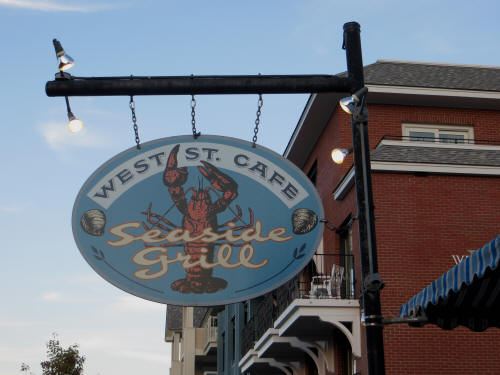 |
By 5:45 the dogs were fed and we went off in search of dinner. Carol found
the West Street Café in a brochure so we decided to give it a try . . . if
we could get in. Downtown Bar Harbor was so busy last night we were
seriously doubtful that we would find a parking spot. We got lucky though;
we turned into the municipal parking lot behind the restaurant and there was
a single open spot. We grabbed it quickly! There was no wait at the
restaurant; we were shown directly to a table . . . they even had Manhattans
on the menu. Does it get any better? Yes it does! Carol had a “Wow”
meal. We both started with a cup of clam chowder and she had lazy man’s
lobster while I had a combo plate of haddock, scallops and shrimp. Mine was
good but Carol proclaimed her meal the best so far. We followed the meal
with some delicious blueberry pie.
We were back with the dogs by 8:45.
Tomorrow we will explore the west side of Mount Desert Island and more of
Acadia National Park. Hopefully the skies will be clear for our return to
Cadillac Mountain. |
|
|
August 22, 2012
Once again we had a leisurely start to the day. Blue let us sleep until
6:45. Within a couple of hours the dogs were fed, the humans were showered,
I had enjoyed some delicious Maine blueberries on my cereal and we were
ready to go.
We pulled out at 8:45. The plan was to circle the west side of Mount Desert
Island, hugging the coast, and end up back at Cadillac Mountain. It was a
beautiful sunny day; the mountain views should be good. |
|
We took State Route 3 south, crossed the Trenton Narrows onto Mount Desert
Island and then took SR 102 to Indian Point Road. Those grand ocean vistas
we were anticipating didn’t materialize. Remember River Road where we
couldn’t see the river? This drive along the coast was the same. Nothing
but twists and turns, hills, rocks and trees. In many places the forest was
so dense that the entire road was canopied. It was pretty, but it was not
the coastal view we had hoped for!
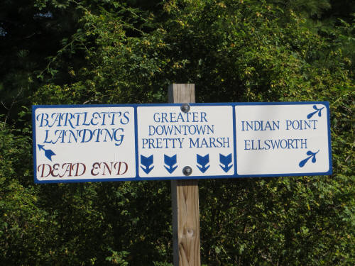
Our first planned stop was Pretty Marsh. We came upon this sign but it
didn’t help much. I couldn’t figure out how to drive straight down . . . so
we never did find Pretty Marsh. |
 |
|
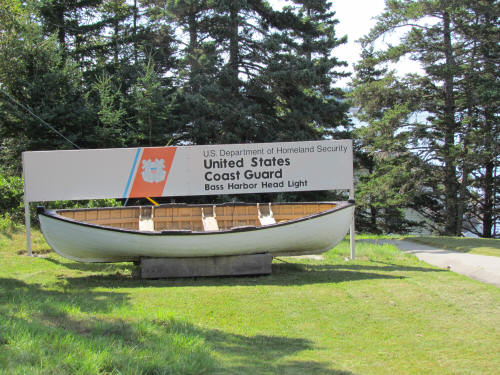 |
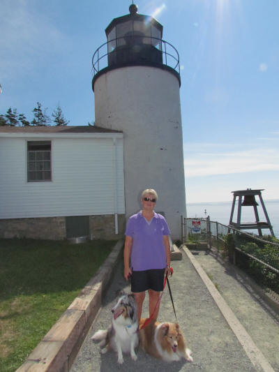
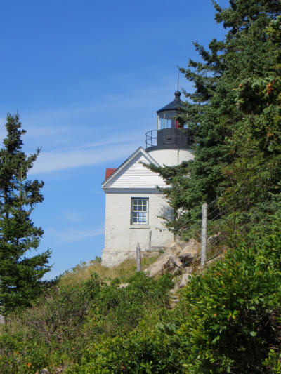
We passed a few scenic little coves along the southern portion of the
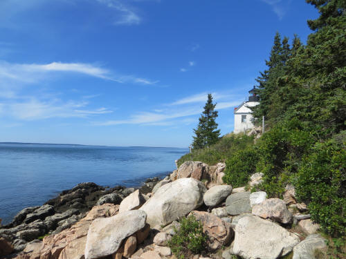
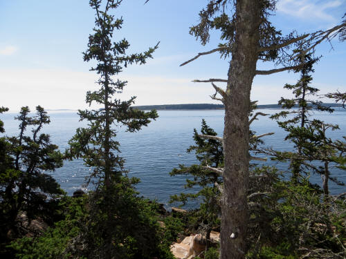
island and at 10:00 arrived at the Bass Harbor Head Light. This pretty
light, dating back to 1858, is still in use. The best views are from the
water but we followed a rocky trail down to a viewing area on the shore for
a few pictures. |
 |
 |
 |
 |
|
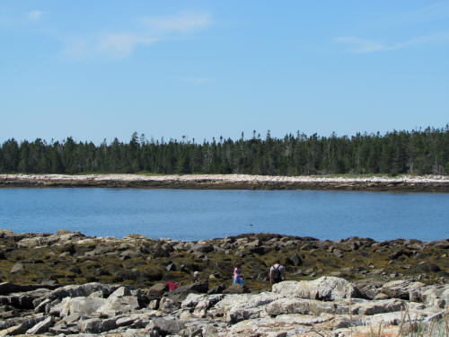
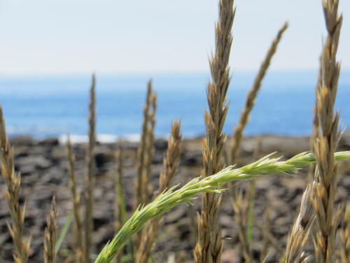
Further along the coast we stopped at the Seawall picnic area. The natural
stone seawall is wide and flat enough that cars park on it. We took a few
pictures then moved on. |
|
 |
 |
|
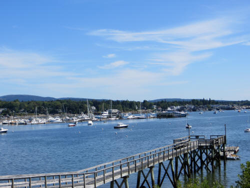
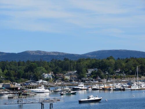
Southwest Harbor is yet another pretty little harbor town. It overlooks
Somes Sound with Cadillac Mountain in the background. |
 |
 |
|
We continued north, travelling between Echo Lake and Somes Sound on SR 102.
Soon we passed Somesville and turned onto SR 198 then SR 233 on our way to
Cadillac Mountain.
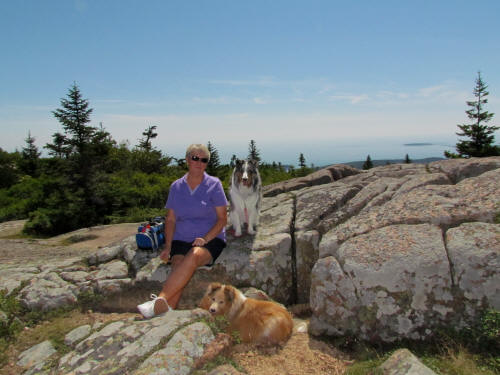
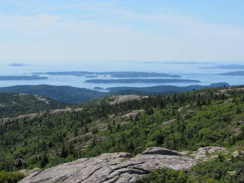
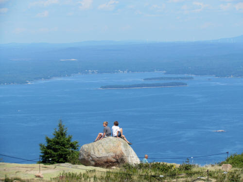
Carol had packed a picnic lunch so we found a scenic and comfortable pile of
rocks on the mountaintop and had lunch. Nice! |
 |
|
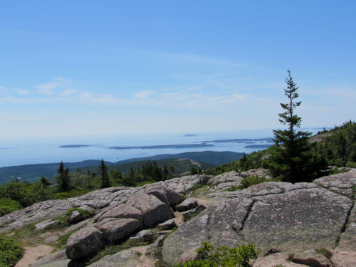
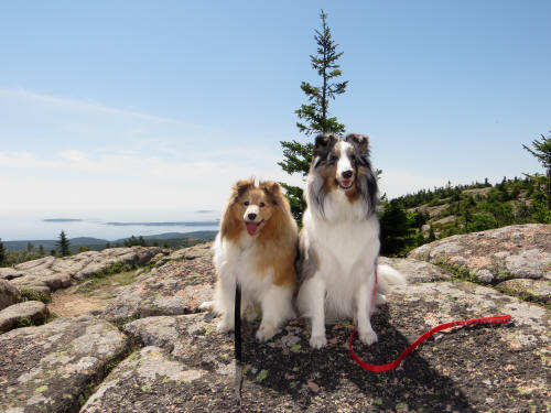
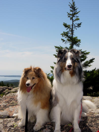
Zak was still not into rock climbing so I wandered off taking pictures from
the summit while Carol posed the dogs for some portraits. We both got some
good pictures. |
 |
 |
 |
 |
 |
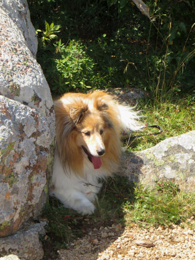 |
|
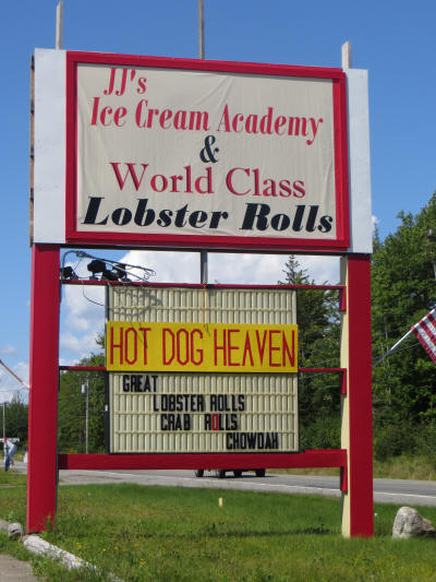
After about an hour and a half on the mountaintop we began our descent. By
this time we had all had our fill of sitting in the car so I pointed it for
home. Naturally there was ice cream along the way. This wasn’t just an ice
cream store; it was an ice cream academy. Wow! Alas, the name was
better than the ice cream. It was OK but it was nowhere near as good as sea
salted caramel. The dogs enjoyed the last of my cone. |
 |
|
 |
We were back at the campground by 2:00 p.m. and enjoyed a nice, quiet and
relaxing afternoon.
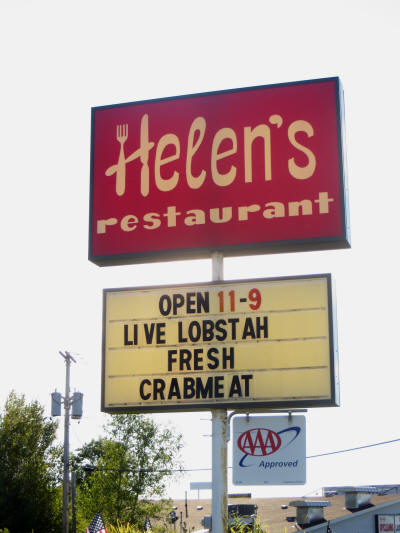
At 5:45 we headed to Ellsworth for dinner. When we checked in a few days
ago they recommended Helen’s, so we gave it a try. I had a cup of chowder
and fried scallops, Carol had a mixed grill comprised of steak, pork ribs
and a skewer of shrimp. Everything was good except the steak . . . she left
most of it. We each had pie for dessert, blueberry and coconut cream. Yum! |
|
We were back with the dogs shortly after 7:00 p.m. I hooked the car up to
the tow bar; we pull out in the morning.
Our 107 mile drive
tomorrow will take us to Eastport Maine. |
|
|
August 23, 2012
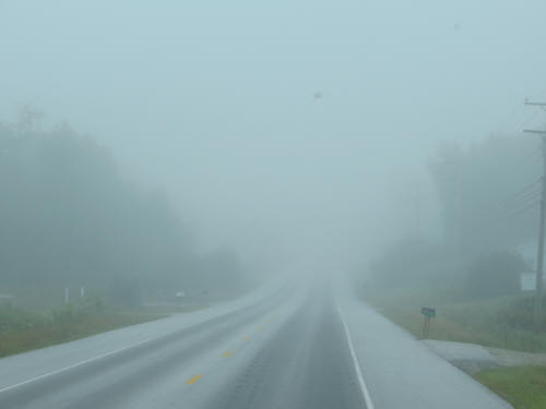
Blue slept in this morning but Carol and I were awake at 6:00 a.m. The
campground was blanketed with pea-soup fog. As I looked out the bedroom
window I could barely see the RV across the road from us.
We were up by 6:15 and I sipped coffee, read e-mails, and had a bowl of
cereal. At about 8:00 I went out to start getting ready to head out;
everything was dripping wet due to the misty conditions. I retracted the
awning, packed up the Mickey lamp, lawn chairs, table, patio mat, etc. while
Carol packed things away inside. The last chore was to dump our holding
tanks and disconnect all the utilities. We pulled away at 8:15, the fog was
still thick! |
|
US Route 1 is patchy in this area, we had a 107 mile drive and half of it
was smooth and comfortable. The other half was wild, bouncy, bumpy and
bone-jarring. There was no warning when we made the transition from smooth
to bumpy so I had to stay alert and watch my speed. Of course those comical
road engineers kept changing the speed limit too, sometimes 40 MPH,
sometimes 45, sometimes 50 and occasionally a breakneck 55. We seldom
touched 40 MPH in the fog. |
 |
|
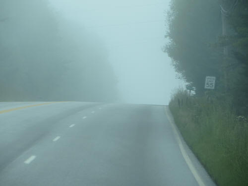 |
I’m sure it was a very scenic drive, we just didn’t see it. One point of
interest along the way – we travelled through the Cranberry Capital of the
World. Oddly enough the cranberry capital is named Cherryfield. Go figure! |
|
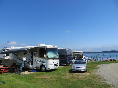
Skies had cleared by the time we pulled into the campground at 10:40.
Our site was ready so we unhooked the car and backed in, three campsites up
from the shore. By 12:15 everything was set up again and we took a few
minutes to sit on a picnic table beside the shore watching the tide come
in. There are 20 foot tides in this area. |
 |
|
 |
We had a quick sandwich for lunch then loaded the dogs in the car to go
exploring. We were looking for tourist information, brochures, maps, etc.
It was discouraging; we decided that they really don’t like tourists here –
LOL. We did find a bit of information but it was sparse.
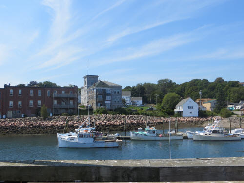
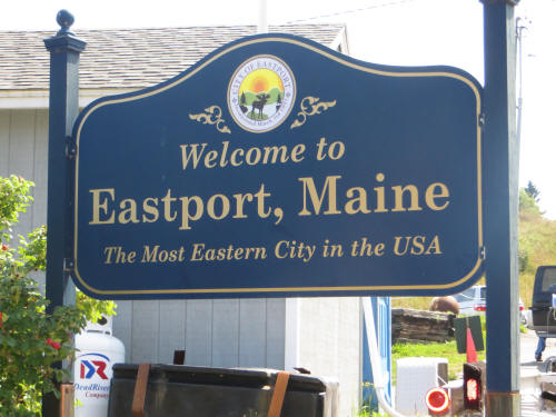
Eastport is a pretty little harbour town with a few little shops but it’s
nowhere as busy as Ogunquit, Wells or Bar Harbor. They have some
interesting looking Whale Watching cruises on a schooner; we may get around
to that. We checked out ferry times to Campobello, it’s a two stage
journey, one ferry to nearby Deer Island, New Brunswick then a second ferry
from there to Campobello. We’ll be on the first ferry tomorrow morning at
9:30. |
 |
 |
|
On the way back from Eastport we stopped for a few groceries. Carol
announced that she had eaten out too many times, tonight we were staying
home. She picked up a BBQ chicken and a baguette.
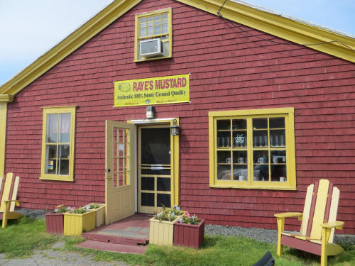
One last stop on the way home was Raye’s Mustard Museum. It’s one of a very
few mustard mills which continue to stone-grind mustard. She picked up a
few jars to sample. |
 |
|
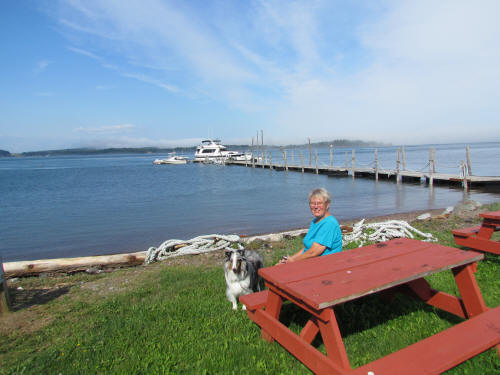 |
We were back home by 2:45 and spent a relaxing hour watching the tide come
in. High tide was at 3:47 and after we had made certain that it crested OK
we went for a well earned nap. |
 |
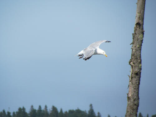 |
|
Later we set up our lawn chairs where we could watch the water and we
relaxed there with the dogs until dinner time. We had a nice baguette with
BBQ chicken, potato salad, macaroni salad and pickles. Sea salted caramel
ice cream for dessert rounded out the meal. Yum!
After dinner we took the dogs for a walk and resumed our seaside lawn chair
vigil. It’s tough work but somebody’s got to do it! We sat out at the
water’s edge until 7:30 when the mosquitoes drove us in. The tides here
aren’t as high as they get further north in the Bay of Fundy but a 20 foot
tide is still something to watch. |
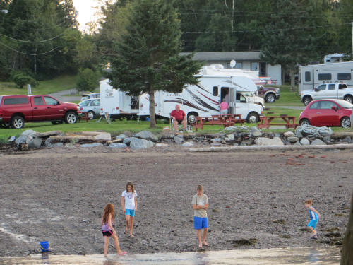
At high tide the waves lap against those
rocks!
|
|
Thunder was rumbling in the distance so we folded up all the outdoor
furniture and stowed it under the awning in case we get rain.
By 8:00 we settled in for a quiet night of TV.
Tomorrow we will explore Campobello Island. |
|
|
August 24, 2012
The sky was a ripe, rosy shade of pink when I opened my eyes at 5:45 a.m.
“Say,” I thought, “It must be a nice sunrise. I should wake Carol up so she
can get some pictures.” I rejected that as a bad plan; I rolled over and
went back to sleep. By the time we both awoke a half hour later the sunrise
was over. Well, maybe tomorrow! |
|
We had a relaxing few hours; we took coffee to the shore and sat watching
the waves lap the sand. It’s a rough life sometimes! |
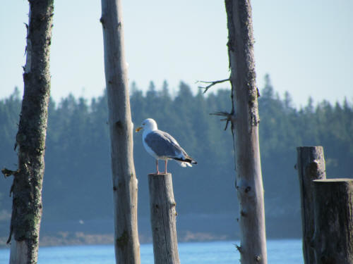 |
|
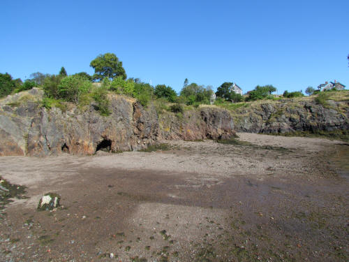
The ferry dock ramp.
|
By 8:45 we were all ready to roll so we loaded Zak and Blue in the car and
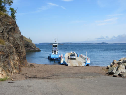
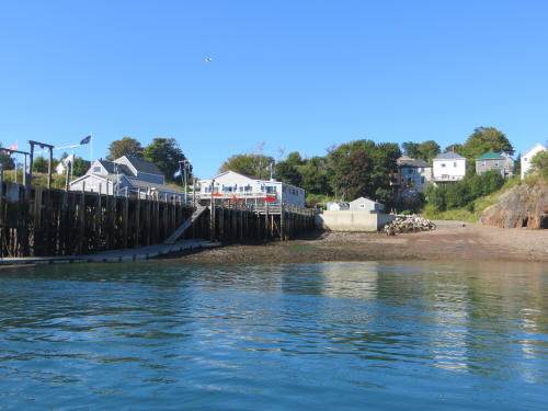
headed to the ferry dock in Eastport. It’s not really a dock, it’s just a
beach. A tug pushes a barge up to the beach, they drop a ramp and you drive
onto the barge. At the other end of your journey it’s the same thing. They
run the barge aground and drop the ramp then you drive off. It’s nothing
like the ferries at home, but then we don’t have tides to contend with! |
|
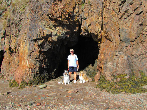
A cave on the shore beside the ferry ramp.
|
 |
|
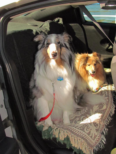
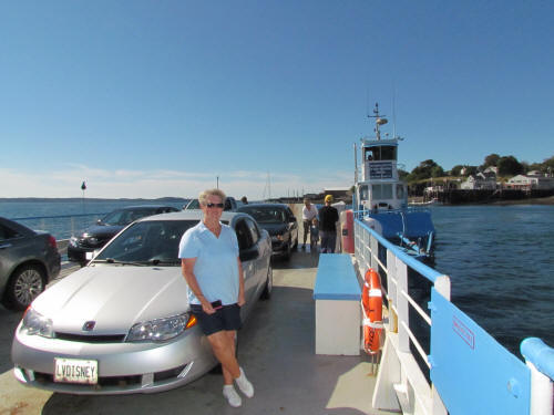
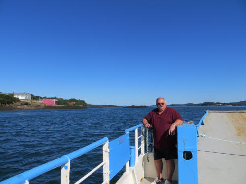
We had a two part ferry ride. Eastport Maine to Deer Island New Brunswick
and then Deer Island to Campobello Island New Brunswick. Zak is a veteran
of many ferry rides but this was a first for Blue. He didn’t like it! |
 |
|
 |
 |
|
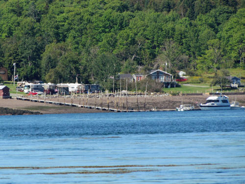
After the first ferry dropped us off at Deer Island we took a short drive
around the tiny island before returning to line up for our next ride. The
ride to Campobello was longer. The second leg of the journey took us past
our campground at low tide. The picture to the right shows how significant
a 20 foot tide is. Look carefully at the picture – see the red car on the
left? That is our RV windshield directly above the red car. |
 |
|
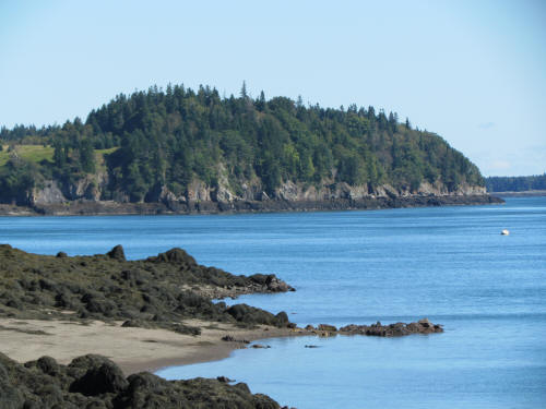 |
When we landed on Campobello we headed directly toward the north end of the
island where the East Quoddy Head Lighthouse is located. Yes, you read that
right, the east lighthouse is at the north end. |
|
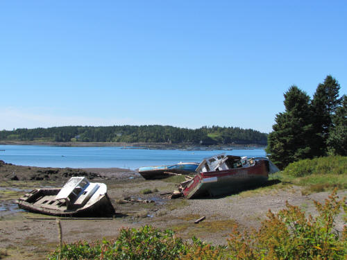
Along the way we passed some interesting sights! |
 |
|
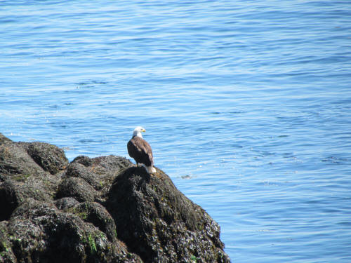 |
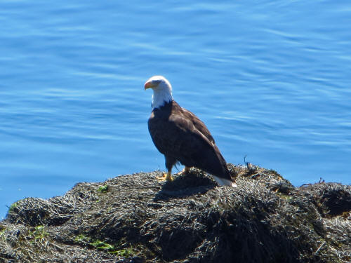
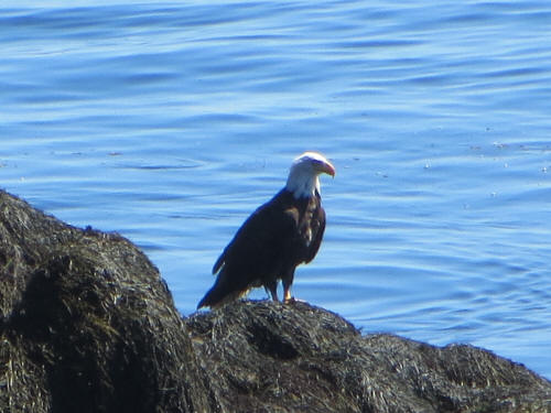
Just before we arrived at East Quoddy Head my eagle-eyed navigator yelled,
“Stop!” She yells a lot when I am driving so my reaction was a bit slow,
but I managed to wheel into a pull-off alongside the road. We scampered out
. . . she had spotted an eagle. A genuine bald eagle! As we watched it
flew off its rock a few times and each time it scooped up a fish. Wow! |
 |
 |
|
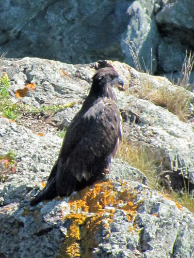 |
Then on a rock not far away we noticed an osprey. Cool! |
|
We stayed and watched these two for at least fifteen minutes; then we
carried on to the light house.
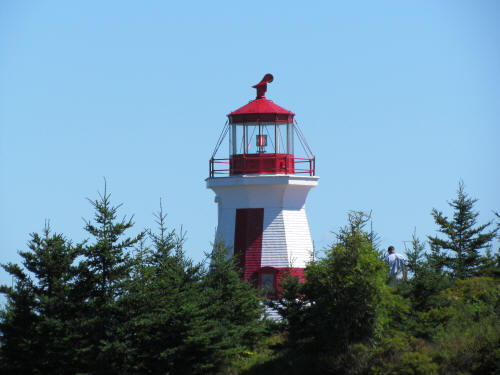
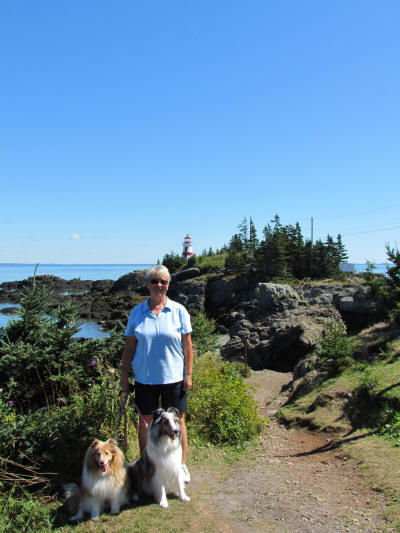
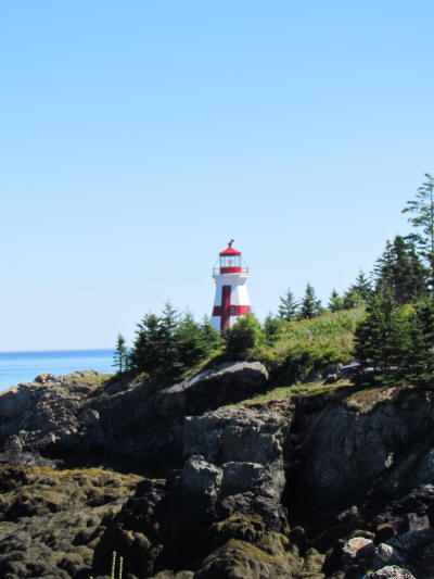
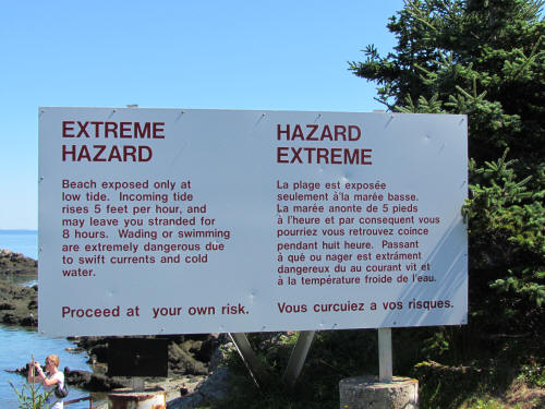
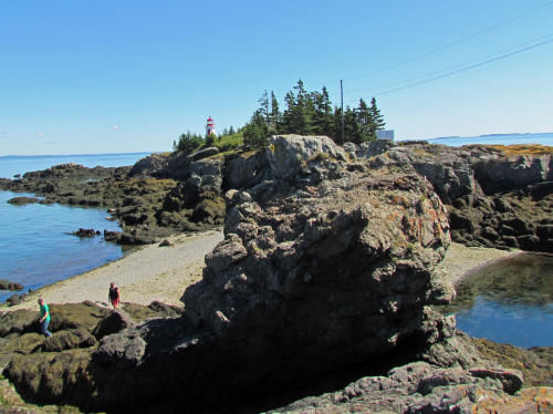
At low tide you can walk across the ocean floor and climb up to the light.
You’d better be back in time though; if you miss the tide you will be there
for eight hours! We stayed on the mainland. |
 |
 |
 |
 |
 |
|
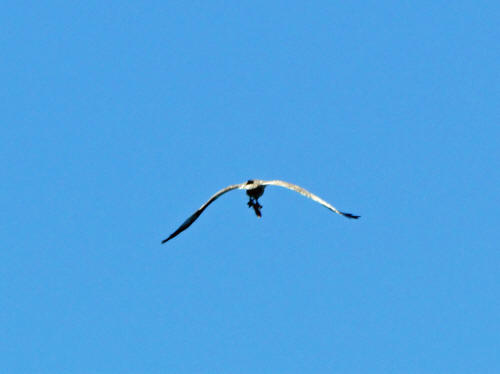
As I was snapping pictures, old eagle-eye yelled my name.
I turned and she pointed up . . . this eagle flew overhead, yes - he's
carrying a fish. |
 |
|
On our way south, heading toward Roosevelt Campobello International Park we
decided to stop for lunch. What should we have for lunch? Well, when in
Rome . . . We had fish & chips; it was good! |
 |
|
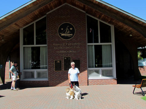 |
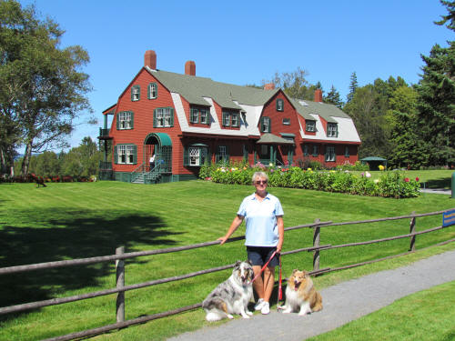
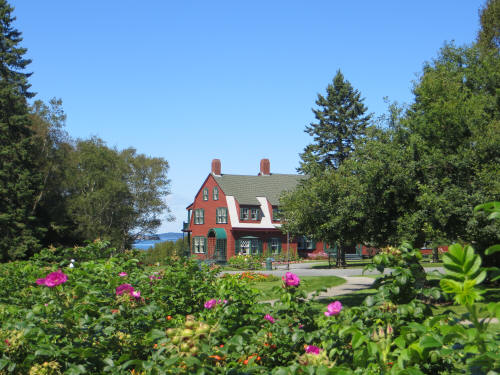
Soon we pulled into the Roosevelt Campobello Park. In our travels we have
visited National Parks in Canada and the USA. We have visited State Parks
and Provincial Parks. But this was the first International Park we have
been to. Why? Because it’s the only one there is. The only one in the
world! An American President’s summer home located in Canada. The park was
created in 1964 and was officially opened by U.S. President
L. B. Johnson and Canadian Prime Minister L. B. Pearson when the two met in
Canada in 1966. |
|
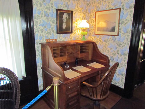
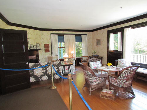
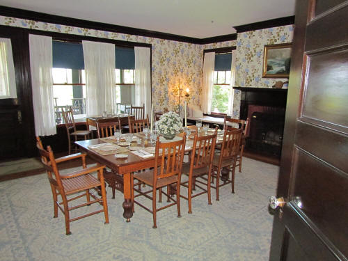
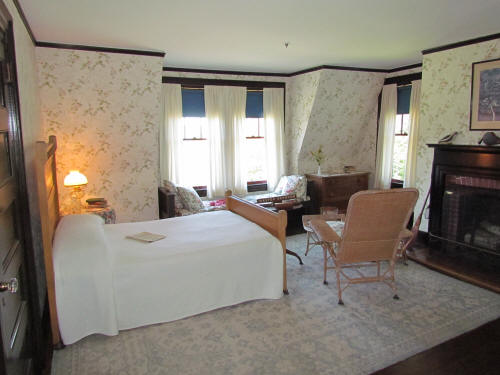
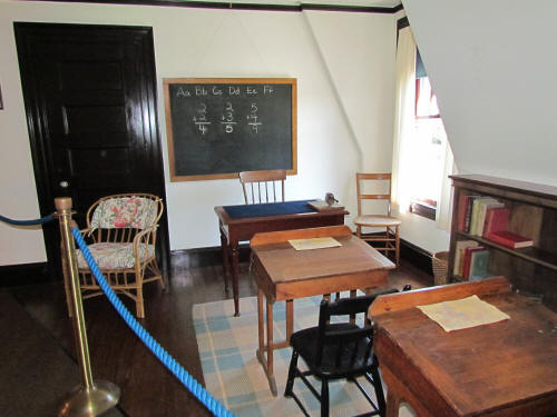
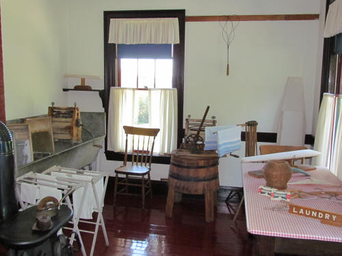
What an amazing property. It is almost 100% authentic.
Only five pieces of furniture in the home were not owned by the Roosevelt
family. |
 |
 |
 |
 |
 |
 |
 |
|
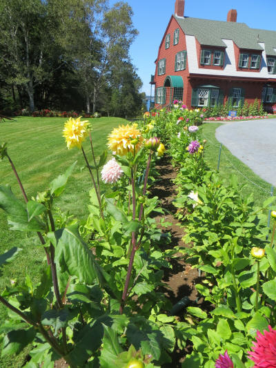
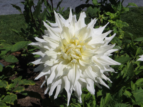
Carol liked the gardens too! We spent two hours exploring the home and the
property. |
 |
 |
 |
|
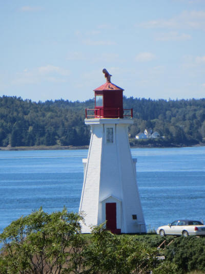
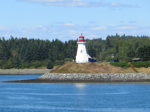
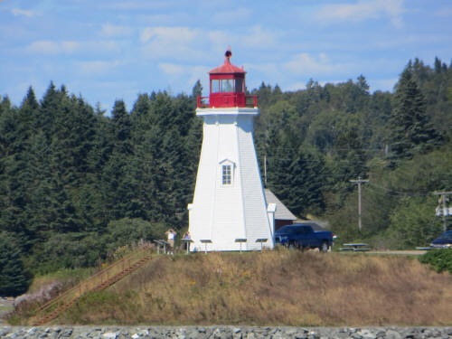
As we approached the bridge which would return us to the USA in Lubec Maine
a surprise lighthouse came into view; the Mulholland Lighthouse. Carol
snapped a few pictures as we crossed the bridge. |
 |
|
 |
 |
|
Then a strange thing happened. It’s one of those things which ensures
that men will never understand women. Things like this will always
keep us off balance. You see, Carol is always helping me with my
driving. She makes frequent suggestions such as, “Keep your eyes on
the road.” or “Pay attention to what you’re doing, you can’t be gawking at
things while you drive.” So this afternoon, half way across a narrow
bridge, approaching the international border at Lubec Maine she cried,
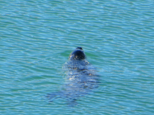
“Look, a seal! Look over here!” This was a no-win for me!
If I looked . . . I’d be ignoring years of ingrained training . . . but if I
missed the seal . . . Ouch, I couldn’t win this one! She continued to
implore, “There it is, right down there. Look! Look!” I
drove on and handed our passports over to the border guard, pretending it
never happened.
She got a picture of the seal, so as it turns out I didn’t miss a thing! |
 |
|
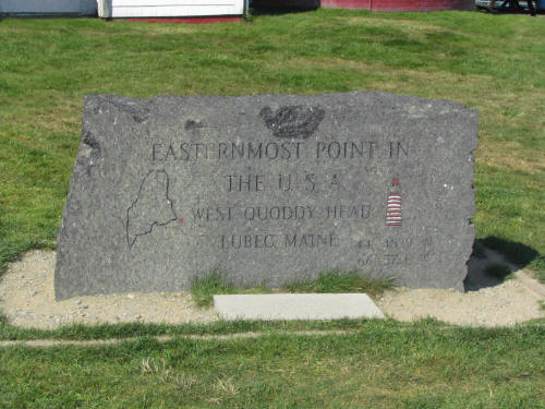 |
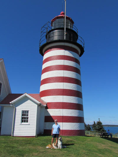
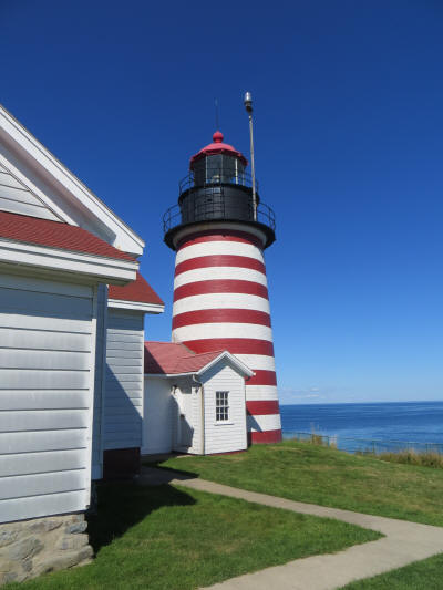
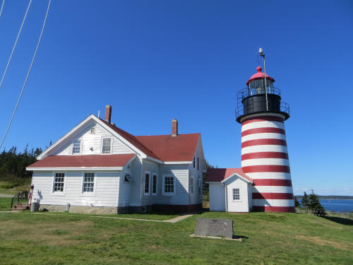
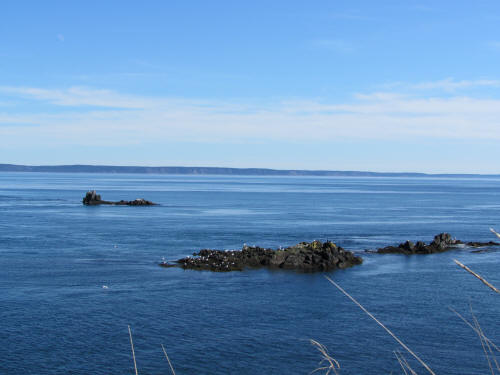
Our last stop of the day was at the West Quoddy Head Lighthouse which of
course is south and west of the East Quoddy head Lighthouse. It’s at
the eastern most point in the USA.
As we wandered the grounds taking pictures our tired old pal Zak growled, as
if to say, "If they drag me to one more lighthouse I'm going to have to bite
somebody!" So we took some tired dogs home. We were back at the
campground at 4:45 – no nap for Carol and I today! |
 |
 |
 |
 |
|
Carol fed the dogs and then we sat for a half hour watching the water lap
the shore at high tide while the dogs napped. Then it was dinner time.
We headed up the hill to The Old Sow, the restaurant in the campground.
It’s named after a huge whirlpool which occurs directly in front of the
campground with every change of tide. We were apprehensive – we’re
heading to a diner in a campground and it’s named The Old Sow. It’s
going to be either very good or very bad!
It was very good, linen napkins and the whole deal! They served a nice
basket of focaccia bread and then we shared a tasty appetizer of vegetable
spring rolls. We both enjoyed a crisp, fresh garden salad. Then
they brought a light apricot sorbet to cleanse our palates. I’ve never
cleansed my palate before a chicken pot pie before, but there’s a first for
everything. It was all good.
The only problem arose when I ordered my second cocktail. My first
Manhattan was so good that it tasted like more. The waitress told the
bartender I would like another, same as the first. Unfortunately he
saw the fellow sitting behind me who was drinking scotch on the rocks.
Ooops, not what I ordered. The waitress was busy so I took the drink
to the bar and the bartender apologized, told me why he was confused and
made me a new drink. I took it back to the table . . . now here comes
the problem! I sat the drink down and reach for my linen napkin which
was crumpled on the table. It was the same colour as the napkin in the
bread basket. Guess which one I grabbed? I gave it a flick to
straighten out the wrinkles and BAM, suddenly the focaccia and little butter
packets are flying everywhere. Oops! Carol and I had quite a
laugh!
|
|
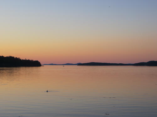
After dinner we sat by the shore watching the sunset until the mosquitoes
drove us in at about 8:00.
Tomorrow we have nothing planned. Carol says she’s ready for a day
off! |
 |
|
|
August 25, 2012
Our day off started late. Blue let us sleep until after 7:00 a.m. Aaaahhh!
We relaxed and read e-mails while savouring a pot of Timmie’s coffee. Carol
announced that it’s time to go home, there’s only enough coffee left for two
more pots! Perfect planning dear, we only need two more pots! I’ve awarded
her an Honorary Doctorate in Tim-Horton-ology.
At about 8:00 my princess emerged from the bedroom with a heaping laundry
basket. “I’m going up to do some laundry, do you want to come along and
we’ll have breakfast at The Old Sow?” I was dressed in a flash and off we
went! I ordered coffee while Carol got three loads started. She joined me
and ordered French toast while I ordered an omelette, then she went to
explore the little shop while they cooked our breakfast.
There must be some magical restorative properties in a load of laundry
because Carol came back with directions to some local “Reversing Falls” and
declared that we had to go! At low tide the waters all rush and cascade
over rocks as the tide waters drain from the bay to the ocean and then the
returning tide carries them all back in again. Just the sort of thing I
like to see! I checked the tide chart; low tide was at 11:41 a.m. – we had
plenty of time to get there. Carol finished up the laundry and put it away
while I uploaded yesterday’s trip report and pictures. |
|
So much for Carol’s “day off”; by 10:45 we were on our way. Alas, the
directions to the falls she had picked up referred to signs and markers
which are no longer there. The local roads appear to have names but since
there are no road signs only the locals know which road is which. Of course
since I am a man there was just no way we could stop to ask for directions
so we forged on blindly. In some miraculous way we only had to turn around
once and we pulled up to the falls at about 11:20. As we walked down the
sloping trail toward the tidal bore the current was putting on quite a
display. There were whirlpools and eddies at the bend directly in front of
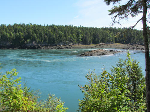
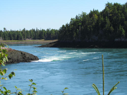
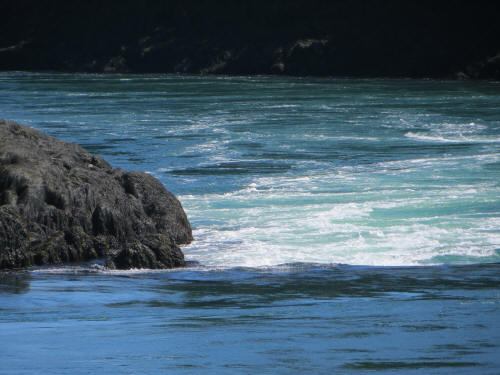
us and just downriver was quite a cascade of rapids running over some large
rocks. |
 |
 |
 |
|
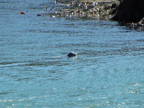
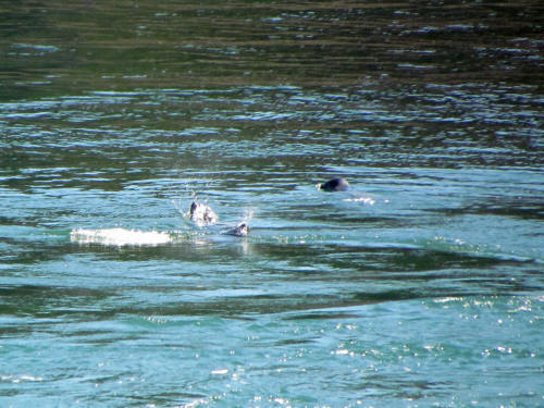
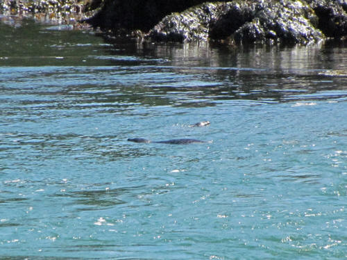
Then we noticed an unexpected bonus – there were seals playing and feeding
in the strongest currents. They put on quite a show for us. They were so
much fun to watch that we almost forgot to take any pictures. |
 |
 |
 |
|
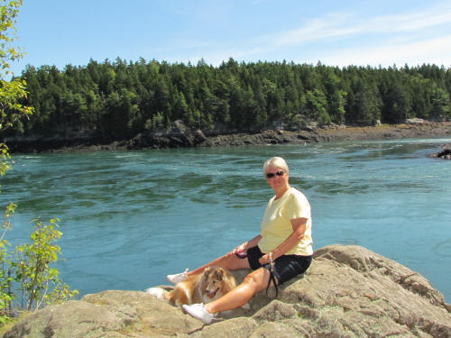
The rapids continued to boil with the outgoing waters for almost an hour
after low tide and then an eerie quiet took over. When the rapids quit
roaring we could hear the birds. Then ever so slowly the waters rose and
the flow reversed. The eddies reappeared, this time heading back the other
way! I assured Carol that the rapids would flow the other way. I was
wrong, by the time the flow reversed those large rocks were fully submerged
and the big show was over. |
 |
|
It was a very interesting phenomenon and the seals sure added to the
entertainment! There was even some open space where we could throw the ball
for Blue. He was long overdue for some serious exercise. He ran until he
couldn’t go anymore.
By 1:30 we began our trip back to the campground. We stopped at a little
roadside joint which advertized ice cream. We each had a cheeseburger,
quite good, then finished off with ice cream cones. They were good too!
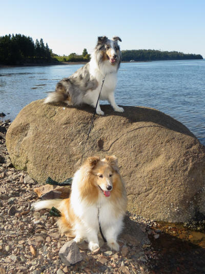
Back at the campground we had a well earned nap, and then I began to pack a
few things up in preparation for tomorrow’s departure. Carol took the dogs
down to the water and posed them on some rocks for a few pictures. |
 |
|
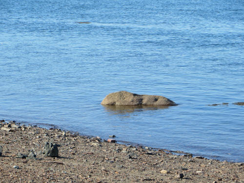 |
Ten minutes later look where that rock was. That’s a pretty quick tide! |
|
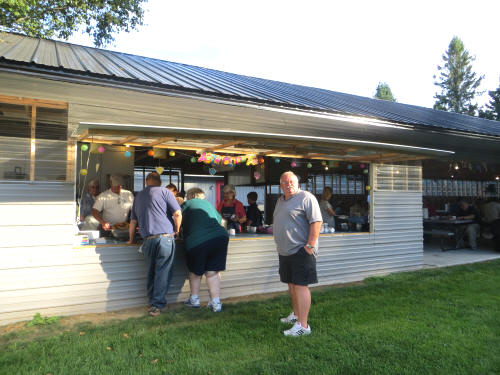
Before we knew it dinner time had rolled around. This was “all you can eat”
night at the campground. We had fried haddock with onion rings, French
fries, coleslaw, hole beans and gingerbread cake. It was served under the
pavilion behind the restaurant. It was quite well attended and everyone had
a good feed. |
 |
|
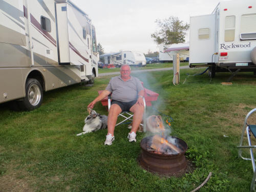 |
Back at the campsite I hooked the car up to the tow bar, rolled up the
awning and then we lit a campfire. We sat out with the snoring dogs until
the bugs drove me in at 8:00.
Tomorrow we cover 333 miles on our way to Danville Vermont. It will be a
very long driving day because almost all of the trip will be on narrow and
windy two-lane roads. We will only see 31 miles of Interstate! Ouch! |
|
|
August 26, 2012
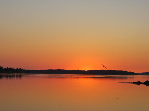
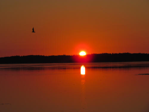
Carol was up with the crows this morning. At 5:30 she was beside the bed
getting dressed . . . very unusual! “What are you doing?” I asked. “I’m
going to watch the sunrise.” She replied. |
|
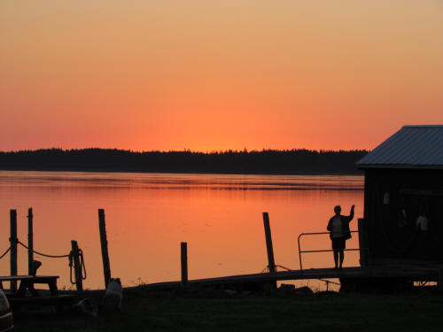
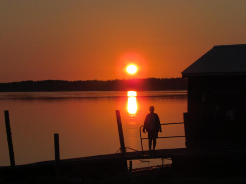
I sprang out of bed (Yeah, right!) tossed on some clothes and joined her.
She was standing on the dock, silhouetted by a beautiful rosy sky. The
sunrise was imminent. |
 |
 |
 |
 |
 |
|
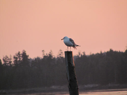
Wow it was pretty; we both stood on the dock snapping pictures. In just a
few minutes it was over and we headed back to the RV.
After a shower and a quick bowl of cereal I unhooked the utilities, Carol
fastened everything down inside and we pulled out at 7:00 a.m.
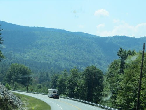
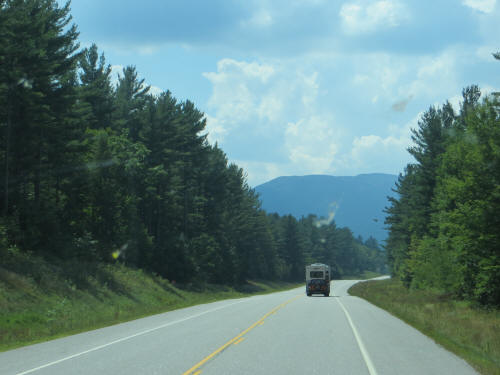
They were long and hard miles today! There are no straight roads or flat
roads in Maine, New Hampshire or Vermont. The whole day was up, down, round
and round. |
 |
 |
At about 10:30 we passed Bangor Maine where we saw our only 4 lane highway,
we had 31 miles on I-395 and I-95 then it was back to bobbing and weaving
through the valleys. The dogs and the navigator napped intermittently but
the driver worked the entire day! Poor guy!
We stopped to gas up just before leaving Maine and later made another quick
stop to walk the dogs. When lunch time rolled around we pulled into a
burger joint in a dustbowl beside a construction zone. Bad planning, but we
have to be careful where we pull in . . . we cannot back up when the car is
hitched so there has to be an easy way out. Carol had a hot dog and I had a
fish burger and we were quickly back on the road. |
|
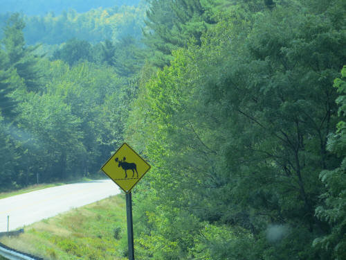
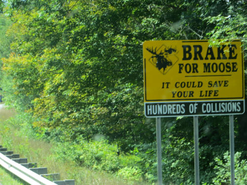
Still lots of signs warning about moose but the moose must all be on
vacation! |
|
 |
 |
|
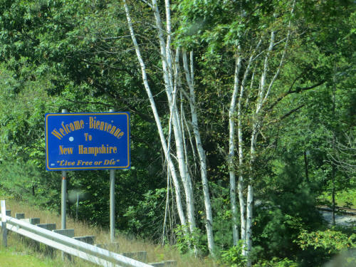
We crossed the State Line into northern New Hampshire at 1:30. |
 |
|
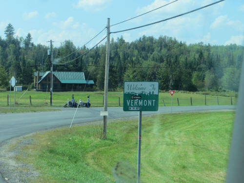
By 2:15 we were in Vermont. |
|
 |
 |
|
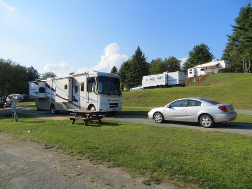
An hour later at 3:15 we pulled into the campground. By 4:00 we were all
set up in our campsite and the driver went for a well earned nap. |
 |
|
 |
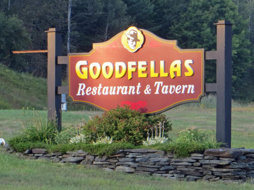
By 5:40 the dogs were exercised and fed and the princess was hungry. We
drove about a quarter mile down the road to Goodfellahs and had a very nice
dinner. |
|
I had fettuccine Alfredo with scallops and Carol had maple glazed chicken
with cheddar cheese, parmesan potatoes, green peas and fire-roasted apples
in maple syrup. She said it was her best meal of the entire trip!
We were back with the dogs by 7:00. I hooked the car back up to the tow
bar, all set for the morning.
Tomorrow we cover our last 307 miles, we should be home by mid-afternoon. |
 |
|
|
August 27, 2012
Once again we were up bright and early, anxious to get underway and get
home. The trip is always fun when we’re going somewhere and it’s much less
exciting on the way coming home!
By 7:00 a.m. we had both showered and I headed out to drain the holding
tanks and give them a really good flush. Carol did her usual job battening
things down inside and also packed up some things so they would be ready to
take into the house when we got home. We pulled out of the campground at
7:38 and continued our westbound trip home. Today our trip was divided
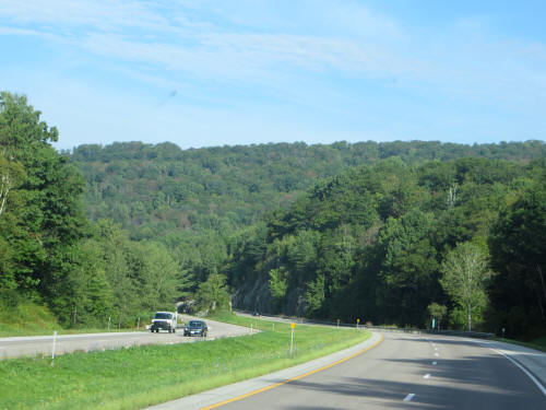
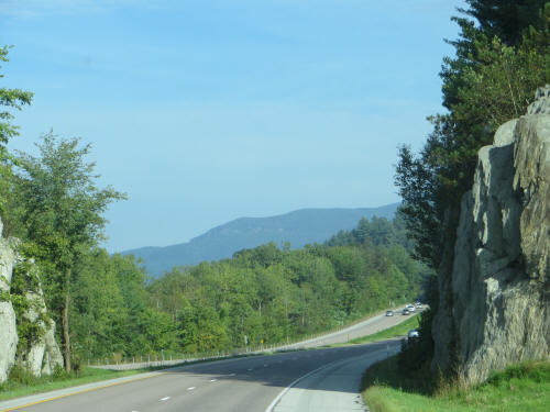
about half and half between two lane roads and expressways. Much better! |
 |
 |
|
We still twisted, turned, climbed and descended but it seemed to go faster,
just knowing that we were getting closer to home!
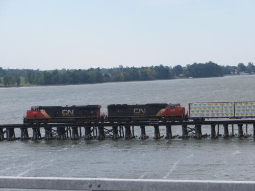
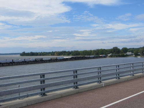
By 10:10 we had reached the north end of Lake Champlain came to an abrupt
stop in the middle of the bridge which crosses to Grand Isle, in the middle
of Lake Champlain. There was a slow moving freight train making its
way across the nearby rail bridge and it was blocking the highway ahead of
us. |
 |
|
 |
 |
|
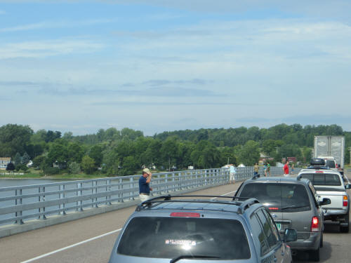
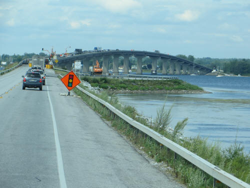
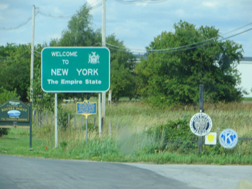
We stood still on that bridge for almost 20 minutes, then as we approached
the second bridge, the one across the New York State Line were stopped by
construction. We finally crossed into New York State at 10:30. |
 |
|
 |
We headed to the border crossing at Cornwall Ontario, near Massena New
York. Before crossing we stopped and filled up with cheap American gas –
only $3.79 a gallon. It’s over $5.00 here at home!
We entered Canada at 12:45 and headed directly to the first service area on
the freeway. Aaahh! Tim Horton’s sandwiches and coffee for lunch; it’s
good to be home!
We pulled up in front of our home at 3:00 p.m. and within an hour everything
was unpacked and in the house.
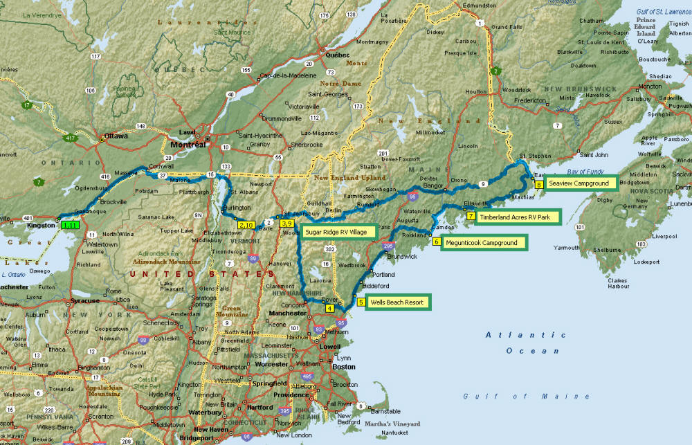
It was a good trip, a very good trip; we really enjoyed the scenery and the
seafood. Carol has suggested a summer trip next year – this time
Newfoundland. It’s the only Canadian Province we have not visited. I’ll
have to get planning! |
|
|
 |
|
